
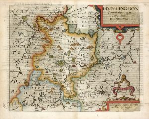
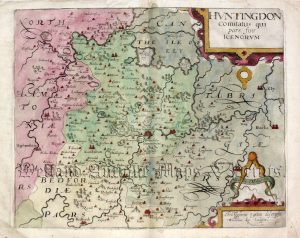
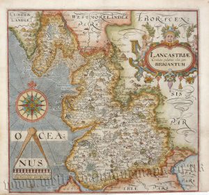
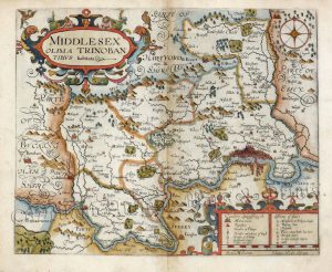
Camden's Britannia: The Kip & Hole Maps (1607 - 1637)

William Camden (1551 – 1623)
‘Camden’s Britannia’, first published in 1586, was one of the most popular and influential books of the period. The work of the Elizabethan antiquarian, William Camden (1551-1623), it was a detailed historical and topographical description of Great Britain. Its patriotic sentiments, in particular, both generated and appealed to the growing sense of nationalism that was coursing through late Tudor / early Stuart society.
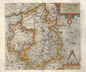
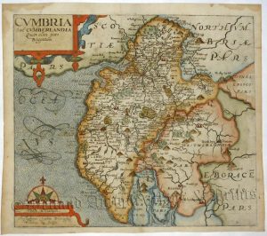
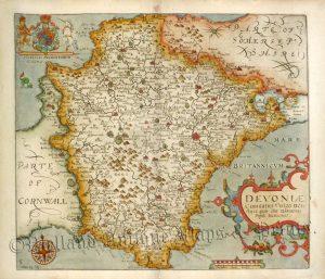
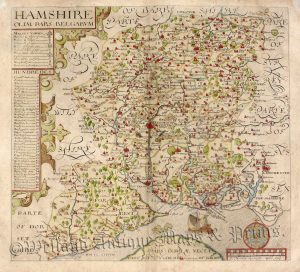
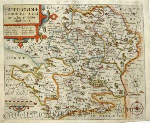
Between 1607 and 1637, county maps engraved by William Kip and William Hole, and based largely on Saxton’s surveys, were added. These maps have the distinction of being the first set to show each county individually as opposed to several being grouped together on one page. Camden’s Britannia continued to be published well into the 19th century; from 1695 to 1772 new county maps by Robert Morden were added, and from 1789 to c.1815, those by the renowned John Cary.
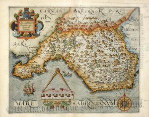
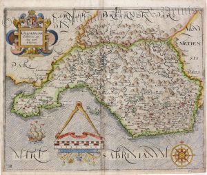
!['CAERMARDI [Carmarthenshire] Comitatus in quo DIMETAE olim habitarunt' by Saxton / Kip c.1637](https://www.wellandantiquemaps.co.uk/wp-content/uploads/2023/01/Carmarthen-Saxton-Kip-01-copy-300x257.jpg)

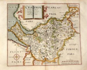
!['CESTRIAE [Cheshire] Comitatus...' (on good paper) by Saxton / Hole c.1637](https://www.wellandantiquemaps.co.uk/wp-content/uploads/2023/01/Cheshire-Saxton-Hole-02-copy-300x249.jpg)
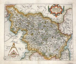
!['COMITATUS Bercheriae vulgo Barkshyre [Berkshire] qui olim sedes A:TREBATUM' by Saxton / Hole c.1607 (First Edition)](https://www.wellandantiquemaps.co.uk/wp-content/uploads/2023/01/Berkshire-Saxton-Kip-1607-copy-300x228.jpg)


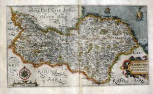
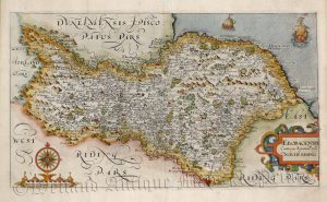
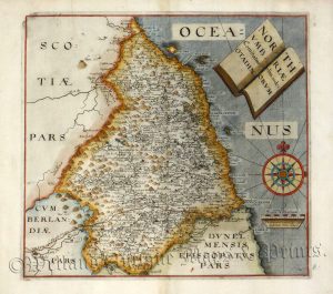
!['DUNELMENSIS [County of Durham] Episcopatus qui comitatus est Palatinus olim pars BRIGANTUM' by Saxton / Kip c.1637](https://www.wellandantiquemaps.co.uk/wp-content/uploads/2023/01/Durham-Saxton-Kip-03-copy-300x242.jpg)
!['FLINT Comitatus quem ORDOVICES olim Incoluerunt' [Flintshire] by Saxton / Kip c.1610 / 1637](https://www.wellandantiquemaps.co.uk/wp-content/uploads/2023/01/Flint-Saxton-Kip-copy-300x250.jpg)
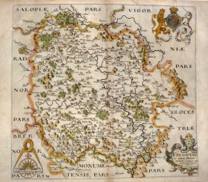
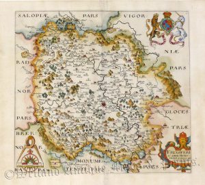


!['SALOPIAE [Shropshire] Comitatus quem CORNAUII olim incoluerunt des: criptio' by Saxton / Hole c.1610 / 1637](https://www.wellandantiquemaps.co.uk/wp-content/uploads/2023/10/Shropshire-Saop-Saxton-03-copy-300x246.jpg)
!['STAFFORDIAE [Staffordshire] COMITATUS' (on good paper) by Saxton / Smith / Kip c.1637](https://www.wellandantiquemaps.co.uk/wp-content/uploads/2023/01/Staffordshire-Kip-02-copy-300x227.jpg)