Joan Blaeu (1596-1673)
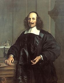
Joan Blaeu (1596-1673)
By the middle of the 17th Century, Amsterdam, the heart of the Dutch empire, had become one of the important commercial cities in Europe. The rise of the Dutch Republic — from 1581 — had been one of the truly remarkable feats in European history. A small, low-lying region lacking natural resources had gradually developed an economy based on shipping and trade. Initially, Dutch trade was centred around fishing and whaling in the Baltic. Later, Dutch shipping penetrated the Mediterranean and eventually, through the Dutch East India Company, the Far East.
The rise in commerce saw a rise in art and science, and so, The Dutch Golden Age began. In the field of art names like Rembrandt, Vermeer and Frans Hals stood tall; science had its illustrious names in Huygens and Van Leeuwenhoek, but it was in cartography that these three disciplines met.
The Dutch had a proud history in map making, most notably through Mercator and Ortelius, but by the middle of the 17th Century, the Golden Age at its height, the name Joan Blaeu stood out.
The Blaeu workshop produced the most magnificent atlases and maps of the period. A true perfectionist, Blaeu used only the best engravers, printers and colourists and only the finest materials, including paper, to produce his work.
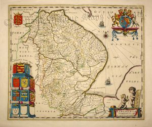
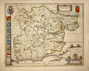
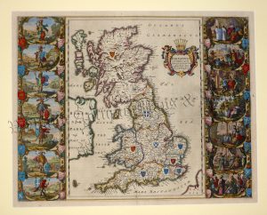
In 1645 he published a county atlas of England & Wales as part of his Theatrum Orbis Terrarum series. Each map epitomised the craftsmanship and artistry of the Blaeu workshop being beautifully ornate with fine cartouches, heraldic shields and calligraphy. Later in 1662 the maps reappeared in volume five of his Atlas Maior, perhaps the finest cartographic work ever produced.
Regrettably, in 1672 disaster struck when the workshop burnt down thus ending Blaeu’s hegemony over the Amsterdam map trade. The loss possibly contributed to the great man’s death the following year. Though map production still continued in Amsterdam it never fully recovered from the catastrophic blow of 1672.
-
Sale!
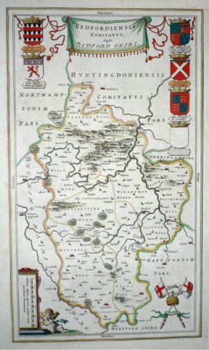
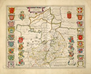
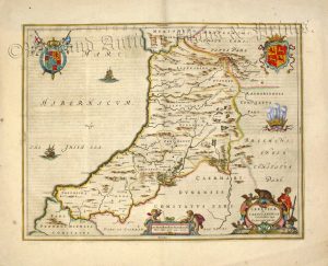
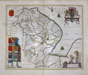
‘BEDFORDIENSIS COMITATUS Anglis BEDFORD SHIRE’ by Joan Blaeu c.1672 (Spanish Text)
Original price was: £295.00.£225.00Current price is: £225.00. Add to basket -

-

-

-
-
Sale!
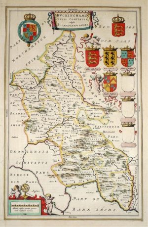
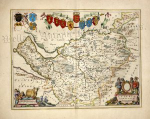
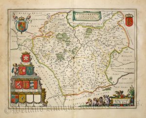
‘BUCKINGHAMIENSIS’ Buckinghamshire by Joan Blaeu c.1645
Original price was: £325.00.£250.00Current price is: £250.00. Add to basket -
-
-

-
-

-
-

-
-

-

-

-

-
-

-

-

-

-

-

-
-

-
-
-

-

-
-

-

-

-
-
-