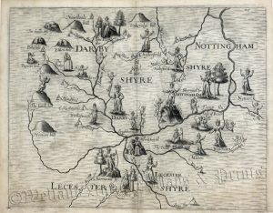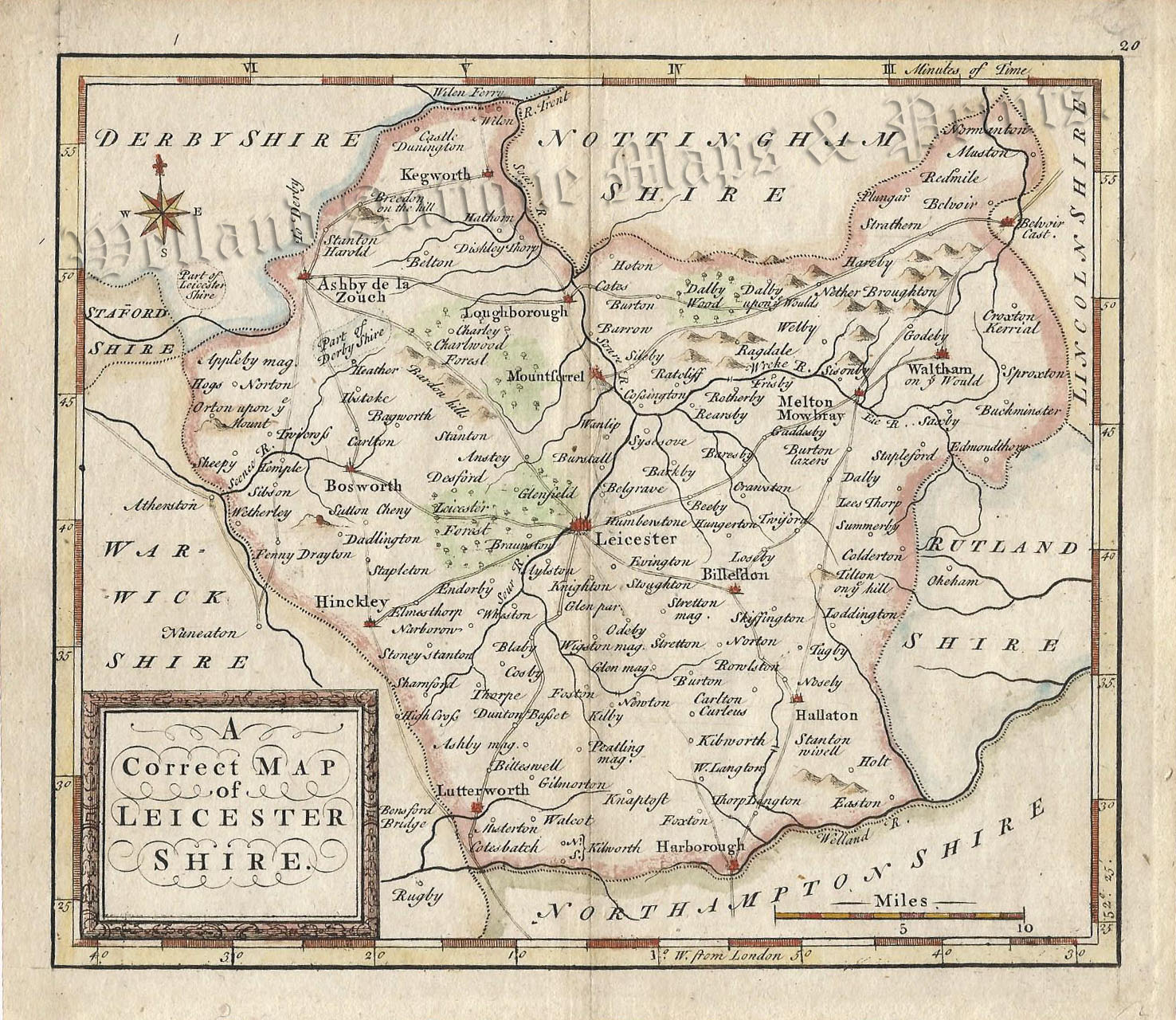
A rare and charming mid 18th century map of Leicestershire which was produced by Thomas Hutchinson* and published in Geographia Magnae Britannia. (London: T. Osborne, D. Browne, J. Hodges, A. Millar, J. Robinson, 1748).
*These maps are often referred to as ‘Osbornes’ by collectors as he was one of the main publishers of the work.
- This is an original copperplate engraving with later hand colour.
- Printed area is approximately 17.1cms by 14.5cms.
- The map is in very good condition with decent margins. Click on image for a better view.
- The item comes displayed in a ready to frame museum quality mount.
- Click on ‘Delivery Policy’ for postage costs.
- Guaranteed to be over 250 years old.