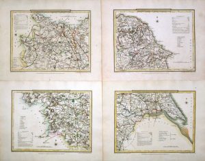
An attractive 18th century map of Yorkshire which was engraved by Thomas Condor and published in Henry Boswell’s Antiquities of England & Wales (London: A. Hogg, 1786-1798).
- This is an original copperplate engraving with later hand colour.
- Printed area is approximately 30.2cms by 20.3cms (including imprint).
- The map is in very good condition with decent margins. Click on image for a better view.
- Click on ‘Delivery Policy’ for postage costs.
- Guaranteed to be over 200 years old.
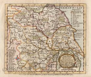
!['YORKSHIRE' by 'Reuben Ramble' (Rev. Samuel Clark) c.[1844?] 1845](https://www.wellandantiquemaps.co.uk/wp-content/uploads/2024/04/Yorkshire-Ramble-03-001-copy-300x371.jpg)