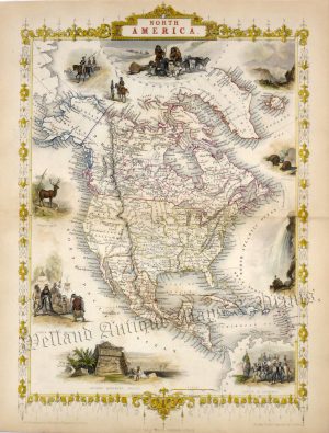
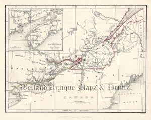
An attractive and detailed late 19th century map of Eastern Canada, with an inset of Newfoundland, which was produced by W. & A. K. Johnston and published in The New Cabinet Atlas (Edinburgh & London: W. & A. K. Johnston, 1877).
- This is an original chromolithograph.
- Printed area is approximately 25.8cms by 19.8cms (including imprint).
- The item is in very good condition with decent margins. Click on image for a better view.
- Click on ‘Delivery Policy’ for postage costs.
- Guaranteed to be over 140 years old.