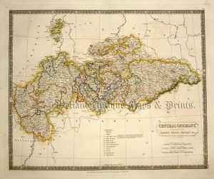
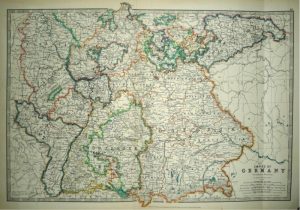
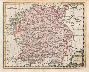
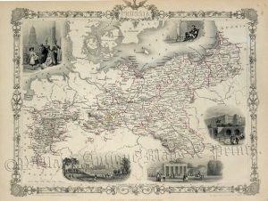
A very attractive and detailed late 19th century map of Northern Germany which appeared in Alexander Keith Johnston’s Handy Royal Atlas of Modern Geography (Edinburgh & London: W. & A.K. Johnston, 1893).
- This is an original lithographic transfer / chromolithograph.
- Printed area is approximately 42.5cms by 33cms.
- The map is in very good condition with decent margins. Click on image for a better view.
- Click on ‘Delivery Policy’ for postage costs.
- Guaranteed to be over 100 years old.