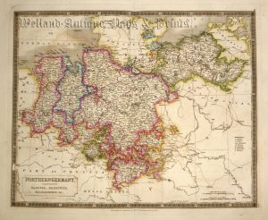
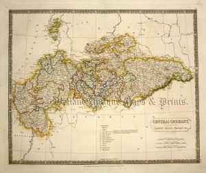
A very attractive late 19th century map of the German Empire (on two separate sheets of paper) by J. Bartholomew F.R.G.S.
- This is an original chromolithograph (lithographic transfer).
- Printed area is approximately 44cms by 58.5cms for sheet one and 31cms by 44cms
- The map is in very good condition with decent margins. Click on image for a better view.
- Click on Delivery Policy for postage costs.
- Guaranteed to be over 100 years old.
!['ALLEMAGNE [Germany] Par N. Sanson le Fils Geographe du Roy' c.1752](https://www.wellandantiquemaps.co.uk/wp-content/uploads/2023/01/Germany-Allemagne-du-Roy-001-copy-300x269.jpg)