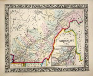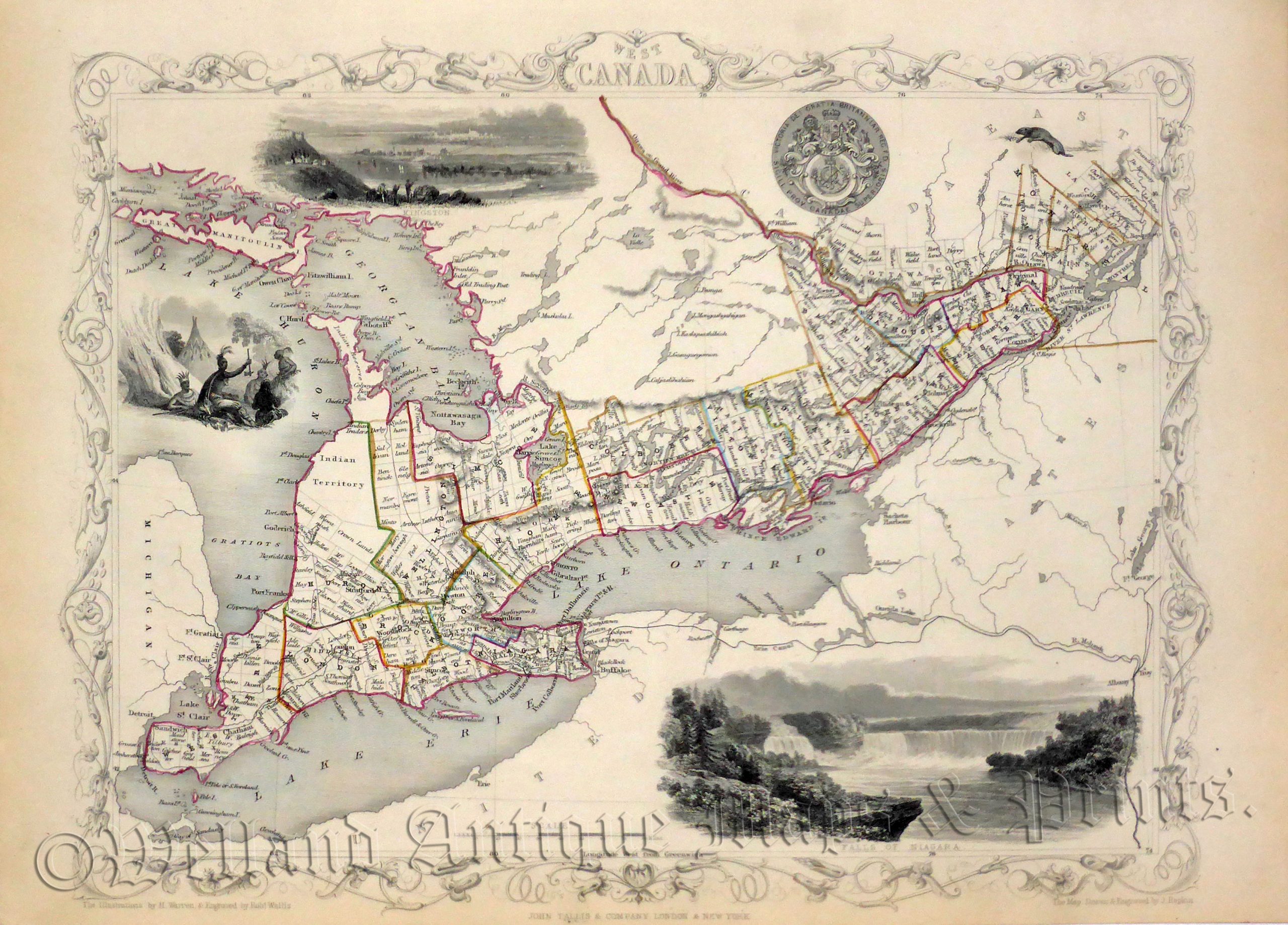
A decorative and detailed mid 19th century map of ‘West Canada’ (South East Ontario) which was drawn and engraved by J. Rapkin (vignettes by H. Warren and R. Wallis) and published in John Tallis’s Illustrated Atlas (London & New York: c.1851).
The Illustrated Atlas, published from 1849 onwards, was the last decorative world atlas. The ‘West Canada’ map was typical of the many fine ones which appeared in this work with its decorative border and attractive vignettes.Illustrated are views of the City of Kingston, Native Americans and a magnificent one of Niagara Falls.
- This is an original steel engraving with original hand colour.
- Printed area is approximately 32.7cms by 25.2cms.
- The map is in very good condition with decent margins. Click on image for a better view.
- Click on ‘Delivery Policy’ for postage costs.
- Guaranteed to be over 160 years old.