
Our Range
Welcome to our new website! If you have not visited us in the last 12 months, you will need to create a new account at the checkout. If you have visited in the last 12 months, please enter your email and select forgotten password. Thank you.
CLARIFICATION ON PRESIDENT TRUMP’S TARIFFS
For the clarification of our US clients printed books, maps, prints, and artwork are EXEMPT from Reciprocal Tariffs under Chapter 99 Secondary Classification: 9903.01.31, as informational materials.
Due to other costs, US orders must be at a minimum of £75.00
A Warm Welcome to Welland Antique Maps
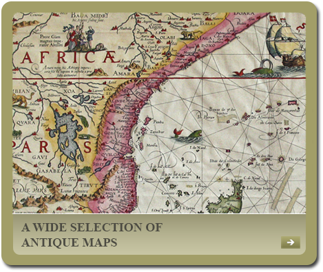
Established in Lincolnshire in 1994, Welland Antique Maps & Prints offers a wide selection of original antique maps & prints dating from the 16th century onwards.
Everything we sell is a genuine antique map / print with a ‘Certificate of Guarantee’ included with every purchase.
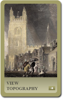
Please feel free to browse website which is divided into sections starting with Antique Maps which is further sub-divided into English Counties, Road Maps, Town Plans, British Isles (including Ireland), Foreign Maps and those by individual cartographers. We also offer original antique topographical prints of the U. K. & the World
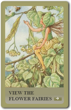
In addition, we also specialise in the vintage Flower Fairy prints by Cicely Mary Barker which were issued from the 1920s to early 1950s. We usually have in stock all 168 of the Flower Fairy prints which appeared in the Spring, Summer, Autumn, Alphabet, Trees, Garden and Wayside series respectively. A 9″ by 7″ acid free mount is included with each purchase.
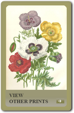
Finally, we offer a variety of other fine prints on subjects including botany / flowers, children, fauna birds and caricatures / humour.
Please remember that antique maps and prints as well as being collectible and desirable also make ideal gifts whether for birthdays, Christmas, weddings, christenings, retirements or for business associates.
We are always interested in any items you may wish to sell, though we regret we do not offer a valuations or advice service.