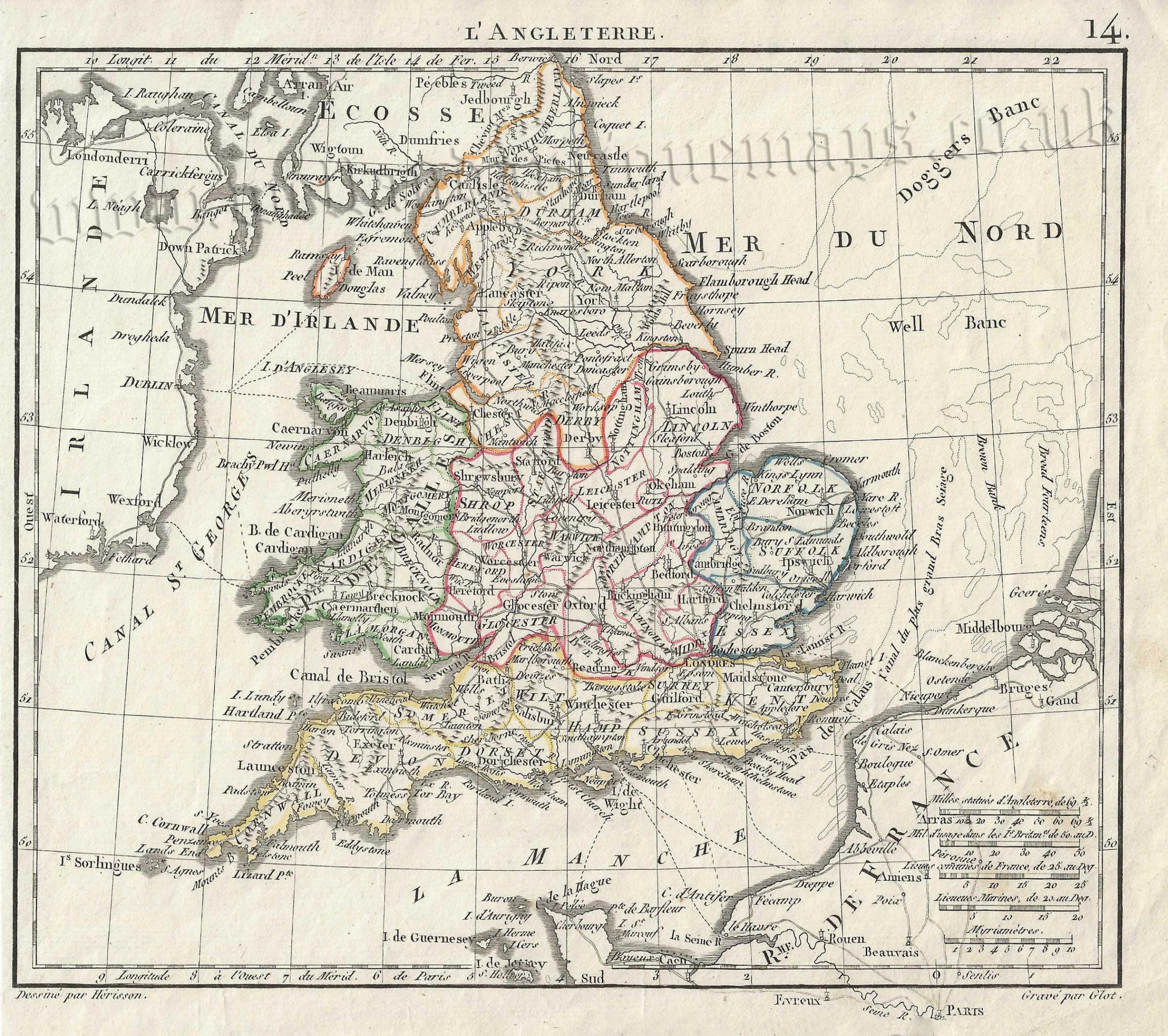
An attractive early 19th century map of England & Wales which was drawn and engraved by Eustache Hérisson and Richard Glot, respectively, and published in Nouvel Atlas Portatif contenant la Géographie Universelle Ancienne et Moderne (Paris: E. Herisson, 1811).
- This is an original copperplate engraving with original hand colour.
- Printed area is approximately 21.4cms by 19cms.
- The map is in very good condition; the left margin is close, as issued. Click on image for a better view.
- Click on ‘Delivery Policy’ for postage costs.
- Guaranteed to be over 200 years old.