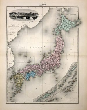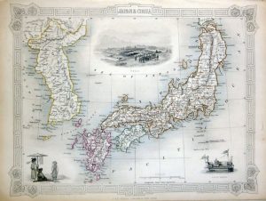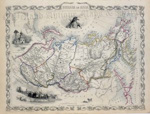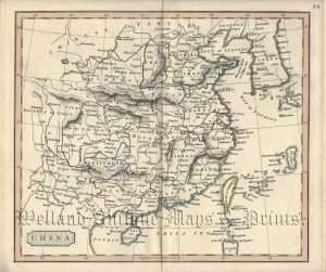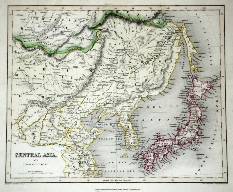
A finely engraved and attractive mid 19th Century map of Central Asia — covering Northern China, Mongolia, Korea and Japan — which was drawn and engraved by Joshua Archer and published in Gilbert’s Modern Atlas (London: Grattan & Gilbert, 1843).
- This is an original steel engraving with fine original hand colour.
- Printed area is approximately 28.5cms by 24cms.
- The map is in very good condition with decent margins. Click on image for a better view.
- Click on ‘Delivery Policy’ for postage costs.
- Guaranteed to be over 165 years old.