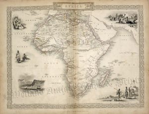
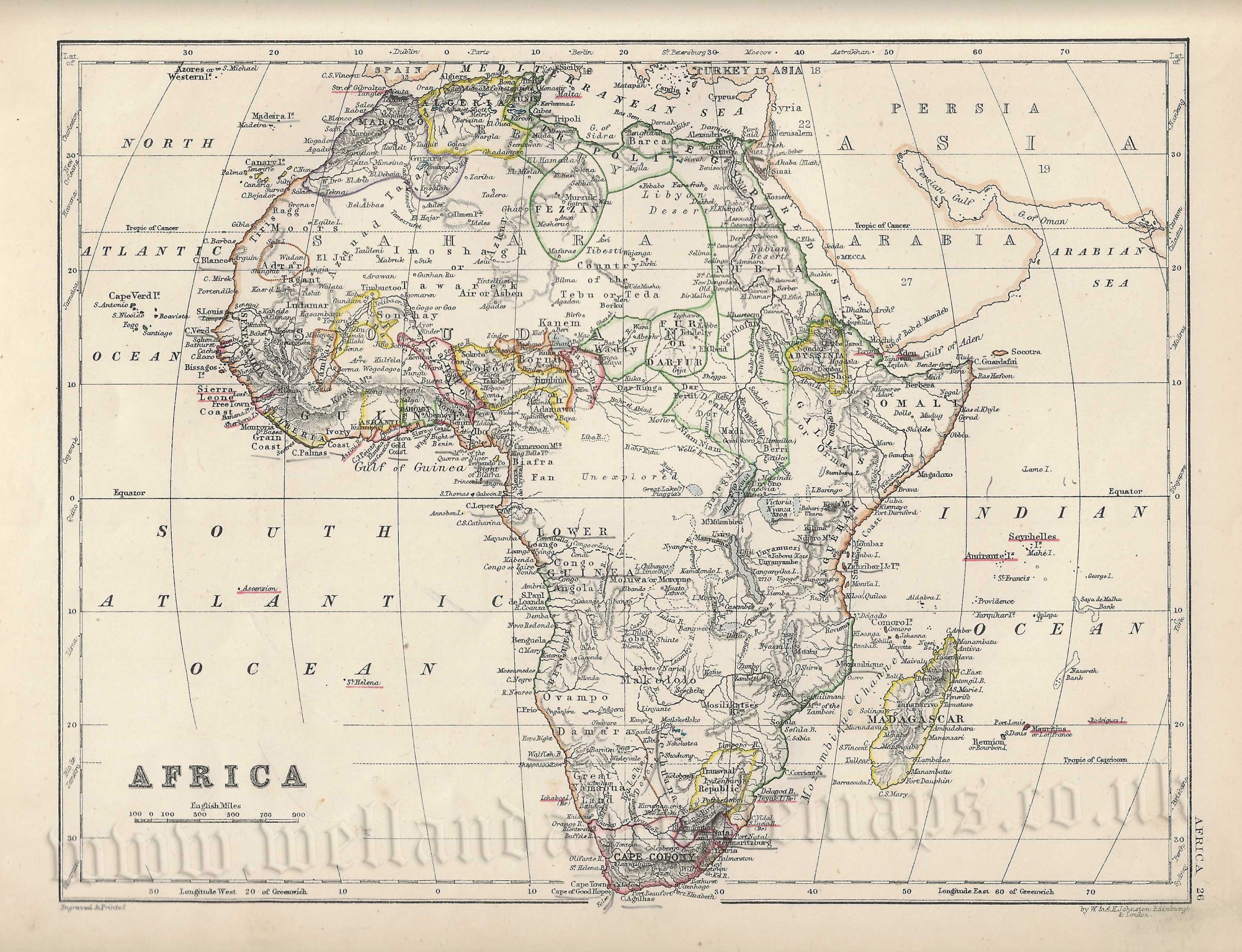
An attractive and detailed late 19th century map of Africa which was produced by W. & A. K. Johnston and published in The New Cabinet Atlas (Edinburgh & London: W. & A. K. Johnston, 1877).
An interesting feature of the map is the depiction of the Kong Mountains in Western Africa. These was a massive yet completely non existent mountain range which appeared on Africa maps throughout the period and even as late as the early 20th century. Their origin lies in the expeditions of the famous Scottish explorer, Mungo Park (1771-1806) who believed from secondhand accounts that they affected the course of the Niger River.
- This is an original chromolithograph.
- Printed area is approximately 25.5cms by 19.57cms.
- The item is in very good condition with decent margins. There are some minor marks and soiling. Click on image for a better view.
- Click on ‘Delivery Policy’ for postage costs.
- Guaranteed to be over 140 years old.