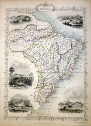
A decorative and detailed mid 19th century map of Africa which was drawn and engraved by John Rapkin (illustrations by J. Marchant and J. H. Kernot), and published in John Tallis & co.’s The Illustrated Atlas (London, Edinburgh & Dublin: J. & F. Tallis, c.1853). At the time the map was produced most of central Africa was still unknown to Europeans. Geographers had no knowledge of Lake Tanganyika and Lake Victoria and still believed that the legendary ‘Mountains of the Moon’ were the source of the Nile River. It was in 1858 when an expedition led by Richard Burton and John Speke finally made these discoveries including the true source of the Nile being Lake Victoria.
John Tallis’s The Illustrated Atlas, published from 1849 onwards, was the last decorative world atlas. The Africa map was typical of the many fine ones which appeared in this work with its ornamental border and attractive vignettes. Illustrated are views of Saint Helena, an Arab family in Algeria, a Bedouin encampment, Bushmen and ‘Korranna Hottentots’.
- This is an original steel engraving with original and later hand colour.
- Printed area is approximately 32.5cms by 25.7cms (including imprint).
- The map is in very good condition with adequate margins; centrefold, as issued. Click on image for a better view.
- Click on ‘Delivery Policy’ for postage costs.
- Guaranteed to be over 160 years old.