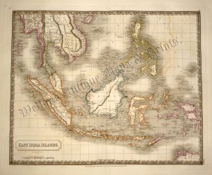
An interesting and attractive 19th century map of the East Indies which was drawn and engraved by John Dower and published in Charles F. Partington’s The British Cyclopaedia of Literature, History, Geography, Law, and Politics (London: Orr & Smith, 1836).
- This is an original steel engraving with later hand colour.
- Printed area is approximately 26.2cms by 21.3cms (including imprint).
- The map is in very good condition with decent margins; centrefold, as issued. Click on image for a better view.
- Click on ‘Delivery Policy’ for postage costs.
- Guaranteed to be over 180 years old.