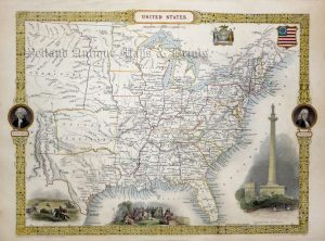
A detailed and attractive 19th century map of North America which was drawn and engraved by John Dower and published in Augustus Petermann’s A Descriptive Atlas of Astronomy, and of Physical and Political Geography (London: Orr & co., c.1850). At the time of the maps publication, parts of northern Canada and Greenland were still unexplored. Alaska, meanwhile, was still part of the Russian Empire, hence, ‘Russian America’. Of additional interest, in the bottom border of the map, is the height comparison of all the major mountains and hills including Mount St. Elias, Mount Brown (which had been wrongly measured at 16,000 feet) and Niagara Falls.
- This is an original steel engraving with original hand colour.
- Printed area is approximately 21cms by 26.7cms (including imprint).
- The map is in very good condition with decent margins. Click on image for a better view.
- The item comes displayed in a ready to frame acid free mount.
- Click on ‘Delivery Policy’ for postage costs.
- Guaranteed to be over 150 years old.