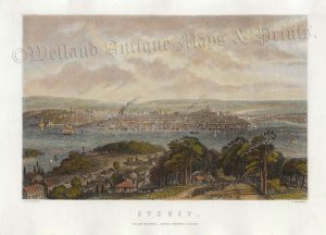
A very finely engraved, detailed and attractive 19th century map of New South Wales and South Australia — with an inset plan of Norfolk Island — which was published in Black’s General Atlas: A series of Fifty-Four Maps from the Latest and Most Authentic Sources (Edinburgh: A. & C. Black,1844). An interesting feature is the (inaccurate) depiction of the recently discovered Lake Torrens in southern Australia.
- This is an original steel engraving with original outline hand colour.
- Printed area is approximately 40.3cms by 29.8cms.
- The engraving is in very good condition with decent margins. Click on image for a better view.
- Click on ‘Delivery Policy’ for postage costs.
- Guaranteed to be over 170 years old.