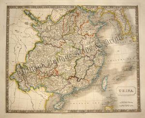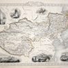
A highly decorative and detailed mid 19th century map of Tibet, Mongolia and Manchuria (northern China) which was drawn and engraved by J. Rapkin (vignettes by H. Winkles & G. Greatbach) and published in John Tallis’s Illustrated Atlas (London & New York: John Tallis & co, c.1851).
The Illustrated Atlas, published from 1849 to 1853, was the last decorative world atlas. The ‘Thibet, Mongolia and Mandchouria’ map was typical of the many fine ones which appeared in this work with its decorative border and attractive vignettes. Illustrated are views of the Great Wall of China, the Palace of the Dalai Lama in Lhasa, ‘Little Thibet’, the dwelling of Tessaling Lama in Shigatzi, the Mausoleum at Teshoo Loomboo and one of a Mongolian Noble seated on a bactrian camel.
- This is an original steel engraving with original hand colour.
- Printed area is approximately 32.9cms by 25cms.
- The map is in very good condition with decent margins. Click on image for a better view.
- Click on ‘Delivery Policy’ for postage costs.
- Guaranteed to be over 155 years old.