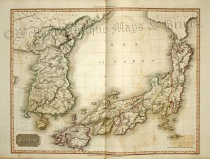
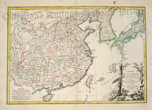
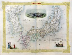
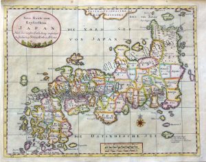
A finely engraved, decorative and scarce 18th century map of Japan and Korea which was originally produced by George Louis Le Rouge and then published by Crepy (Paris:1767).
George Louis Le Rouge (fl. c.1740-1780) was a noted map maker in the period when France lead the world in cartography. A military engineer by profession, he turned to map making and in a career spanning forty years produced many fine works covering a wide range of cartographic subjects including military / campaign maps, plans of fortifications, town plans, sea charts and world atlases.
- This is an original copperplate engraving with original hand colour.
- Printed area is approximately 27.5cms by 21.5cms.
- The map is in very good condition with decent margins — centrefolded is issued. Click on image for better view.
- Click on ‘Delivery Policy’ for postage costs.
- Guaranteed to be over 240 years old.


