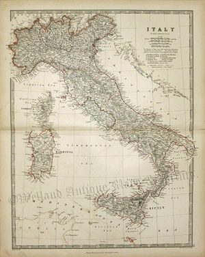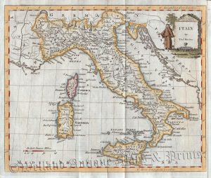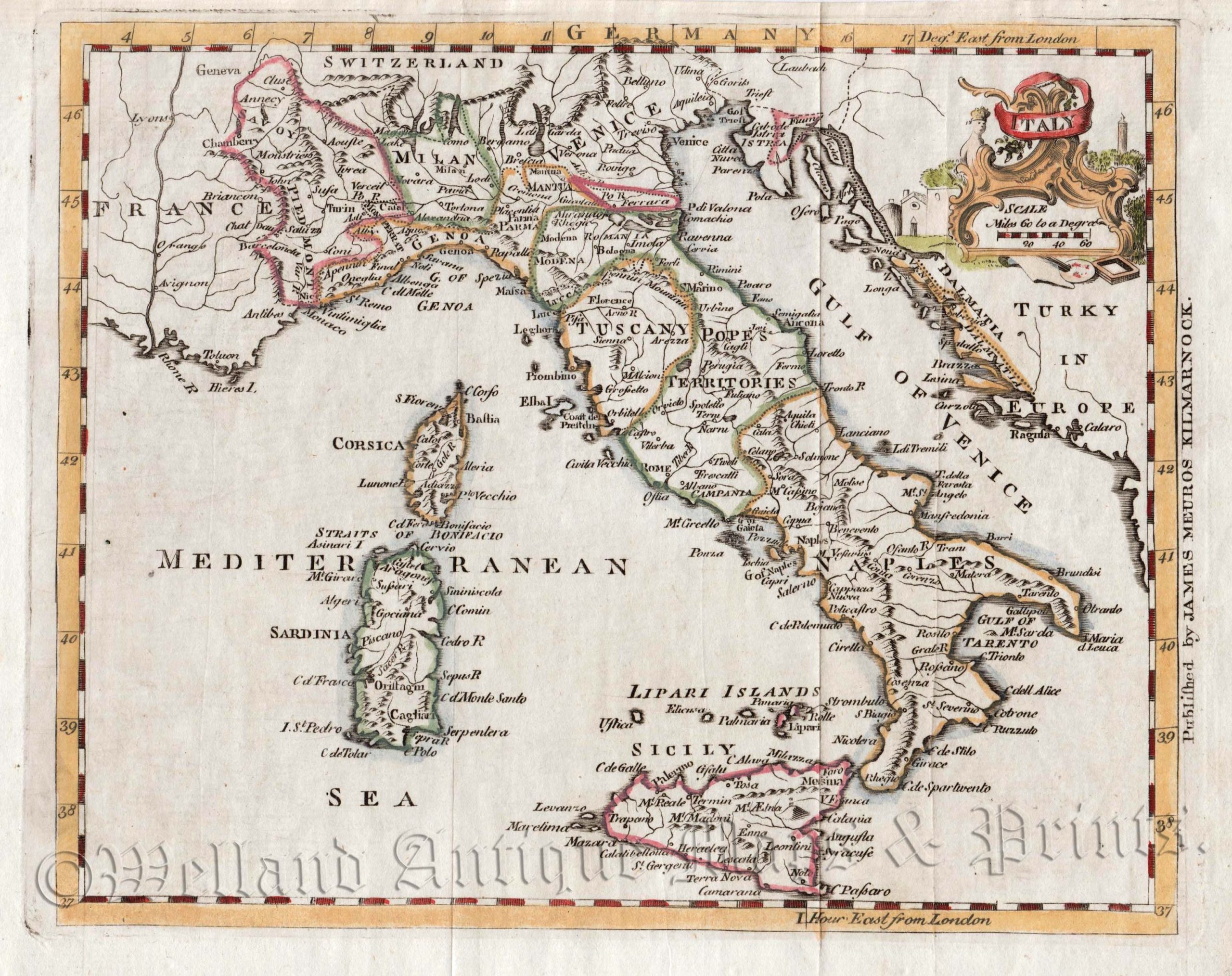
An attractive 18th century map of Italy (with its various kingdoms) which was produced by Thomas Jefferys and published in Thomas Salmon’s A New Geographical and Historical Grammar (Kilmarnock: James Meuros, 1767).
Thomas Jefferys (c.1695-1771) was an outstanding 18th century cartographer and publisher whose prolific output ranged from 1 inch to 1 mile county maps to some of the finest maps of the time of North America. He enjoyed a very high reputation for his work and was appointed Geographer to the Prince of Wales and George III. Despite this, he never received much success financially and was even bailed out of bankruptcy during the production of his American atlas.
- This is an original copperplate engraving with later hand colour.
- Printed area is approximately 22.7cms by 18.2cms.
- The map is in very good condition; vertical folds, as issued. The top margin is close, but still mountable without loss. Click on image for a better view.
- The item comes displayed in a ready to frame museum quality mount.
- Click on ‘Delivery Policy’ for postage costs.
- Guaranteed to be over 250 years old.