!['THE EAST INDIES' [India & Indo-China] by Sr. Robert De Vaugondy c.1760](https://www.wellandantiquemaps.co.uk/wp-content/uploads/2023/01/East-Indies-Rodert-De-Vaugondy-02-copy-scaled.jpg)
Full Title: ‘THE EAST INDIES; distinguishing the EMPIRES and KINGDOMS on the Continent commonly call’d INDIA: By Sr. Robert with improvements.’
An interesting and attractive mid 18th century map of India and Indo-China which was published in Sieur Robert De Vaugondy Geographical Dictionary (London: J. Newbury, 1760).
- This is an original copperplate engraving with later hand colour.
- Printed area is approximately 29.2cms by 20.2cms.
- The map is in very good condition with decent margins. Click on image for a better view.
- Click on ‘Delivery Policy’ for postage costs.
- Guaranteed to be over 250 years old.
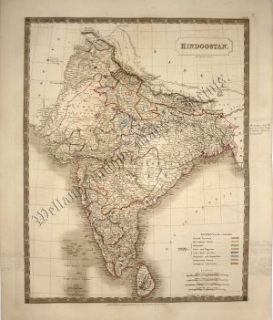
!['HINDOOSTAN' [INDIA] by J. Archer / W. Pinnock c.1836](https://www.wellandantiquemaps.co.uk/wp-content/uploads/2023/01/Hindoostan-India-Pinnock-001-copy-300x416.jpg)