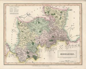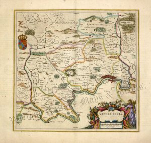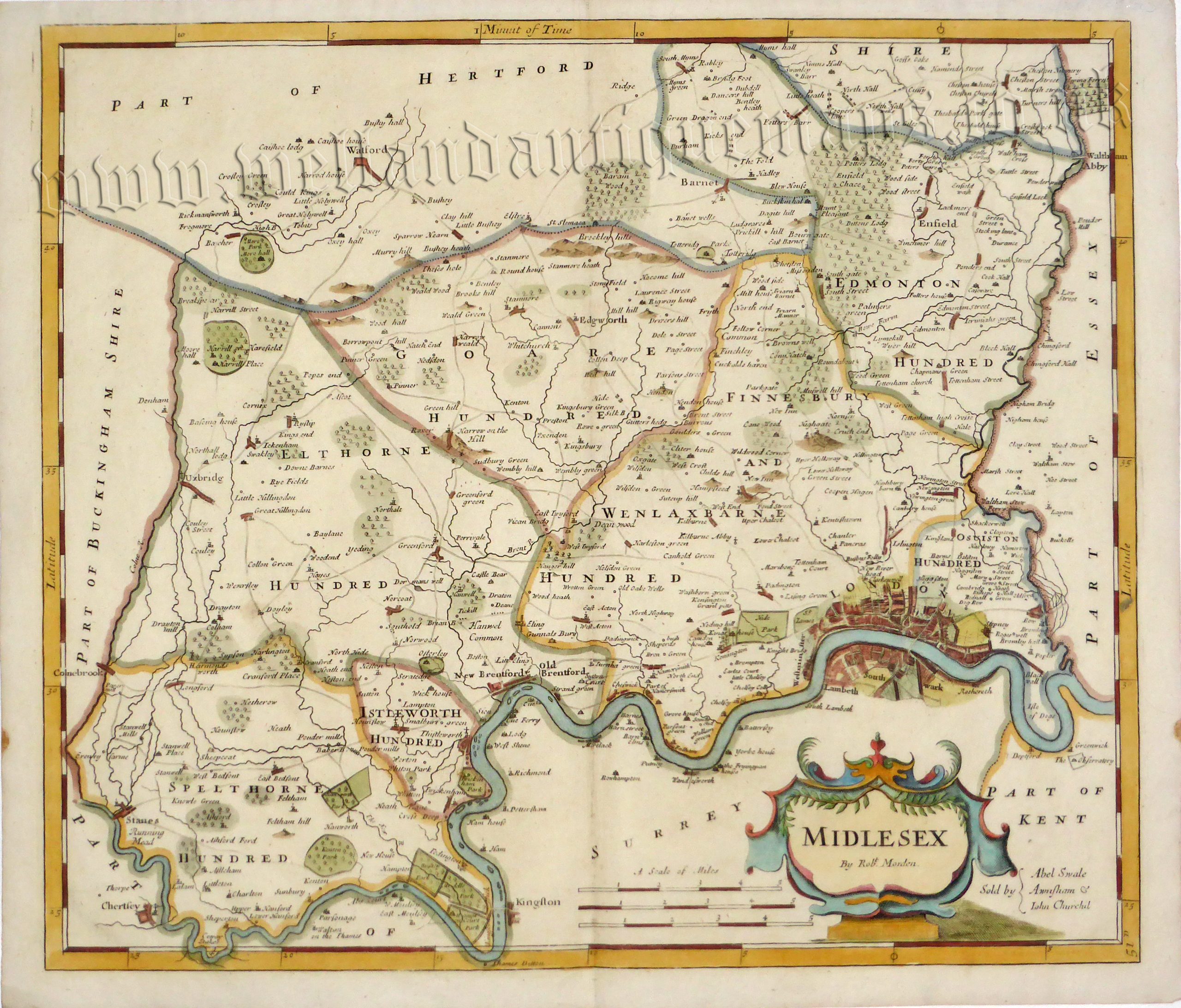
An interesting and attractive 17th century map of Middlesex which was produced by Robert Morden and published in Camden’s Britannia (London: Swale, Awnshaw & Churchill, 1730). Bishop Gibson described the maps from this series as “much the fairest and most correct of any that have yet appeared”. The maps are also notable for using up to three different mileage scales, none of which are based on the statute mile!
The map comes from a 1695 edition as the settlement of ‘Chanler’ (North of London) was altered to ‘Cantlers’ in the next edition of 1722.
- This is an original copperplate engraving with later hand colour.
- Printed area is approximately 42.5cms by 36.4cms.
- The map is in very good condition with decent margins; centrefold, as issued. Click on image for a better view.
- Click on ‘Delivery Policy‘ for postage costs.
- Guaranteed to be over 300 years old.