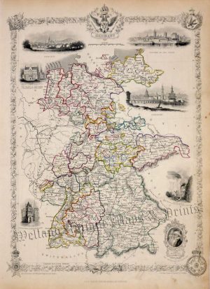
!['ALLEMAGNE [Germany] Par N. Sanson le Fils Geographe du Roy' c.1752](https://www.wellandantiquemaps.co.uk/wp-content/uploads/2023/01/Germany-Allemagne-du-Roy-001-copy.jpg)
An attractive and detailed small 18th century map, with decorative cartouche, which was produced by N. Sanson and published in La Science Personnes de Cour d’Epee et des Robe (Amsterdam: Z. Chatelain, 1752).
- This is an original copperplate engraving with later hand colour.
- Printed area is approximately 16cms by 14.3cms.
- The map is in very good condition with adequate margins; vertical folds, as issued. Click on image for a better view.
- The item comes displayed in a ready to frame museum quality mount.
- Click on ‘Delivery Policy’ for postage costs.
- Guaranteed to be over 250 years old.