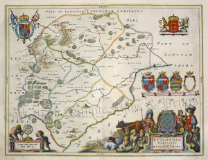
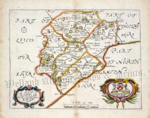
An interesting and attractive map of Rutland which was originally published in James Wright’s History of Rutland in 1684 and then by Robert Morden’s / Bishop Gibson’s re-issue of Camden’s Britannia (London: 1695-1772). As well as being one of the earliest maps of Rutland to show roads, it is also distinct for its interesting ‘bird’s eye view’ plans of both Oakham and Uppingham.
- This is an original copperplate engraving with later hand colour.
- Printed area is approximately 36cms by 28.5cms.
- The map is in very good condition with excellent margins; centre fold, as issued. Click on image for a better view.
- Click on ‘Delivery Policy’ for postage costs.
- Guaranteed to be at least 245 years old.


