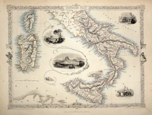
A decorative and detailed mid 19th century map of Egypt which was drawn and engraved by J. Rapkin (vignettes by J. Marchant & J. B. Allen) and published in John Tallis’s Illustrated Atlas (London & New York: John Tallis & co, c.1851). The original page of descriptive text which accompanied the map is included.
The Illustrated Atlas, published from 1849 onwards, was the last decorative world atlas. The ”Egypt and Arabia Petraea” map was typical of the many fine ones which appeared in this work with its highly decorative border and attractive vignettes. Illustrated are views of the Sultan Hassan Mosque, Cairo; Alexandria; the ruins of the Great Temple, Karnac and the Great Sphinx at Giza.
- This is an original steel engraving with original hand colour.
- Printed area is approximately 25.3cms by 34.2cms.
- The map is in very good condition with adequate margins. Click on image for a better view.
- Click on ‘Delivery Policy’ for postage costs.
- Guaranteed to be over 155 years old.