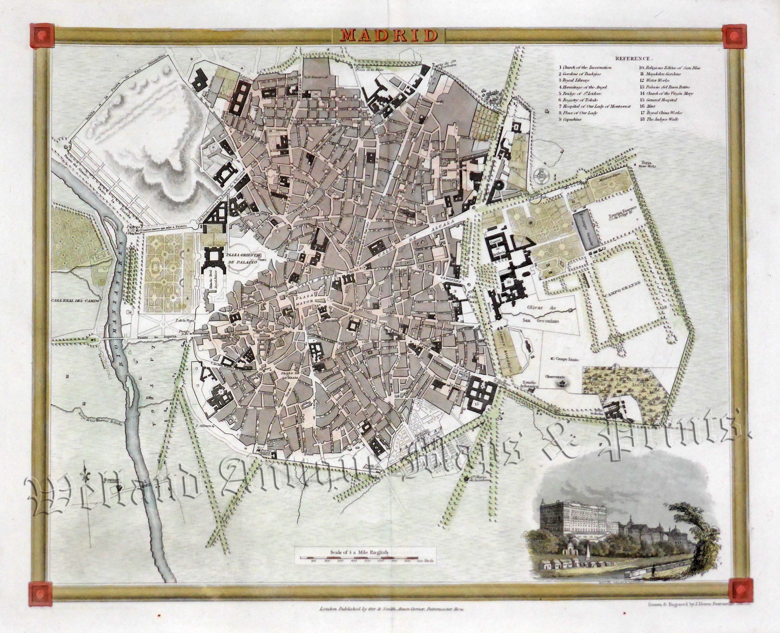
An interesting and attractive 19th century city plan of Madrid, Spain — with a decorative border and vignette view of the Royal Palace — which was drawn and engraved by John Dower and published in Charles F. Partington’s The British Cyclopaedia of Literature, History, Geography, Law, and Politics (London: Orr & Smith, 1836).
- This is an original steel engraving with later hand colour.
- Printed area is approximately 26.4cms by 21.4cms (including imprint).
- The map is in very good condition with decent margins. Click on image for a better view.
- Click on ‘Delivery Policy’ for postage costs.
- Guaranteed to be over 175 years old.