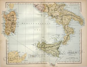
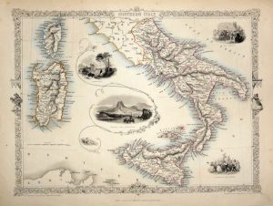
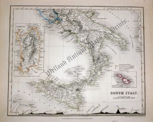
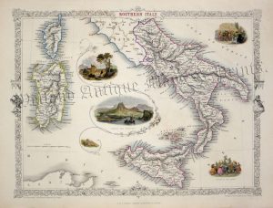
A detailed and attractive 19th century map of North Italy which was drawn and engraved by John Dower and published in Augustus Petermann’s A Descriptive Atlas of Astronomy, and of Physical and Political Geography (London: Orr & co., c.1850). An interesting feature in the bottom border is the comparison of all the major mountains and hills.
- This is an original steel engraving with original hand colour.
- Printed area is approximately 25.7cms by 21.6cms.
- The map is in very good condition with decent margins There is a minor stain in the ‘Adriatic Sea’ near the coast. Click on image for a better view.
- The item comes displayed in a ready to frame acid free mount.
- Click on ‘Delivery Policy’ for postage costs.
- Guaranteed to be over 150 years old.