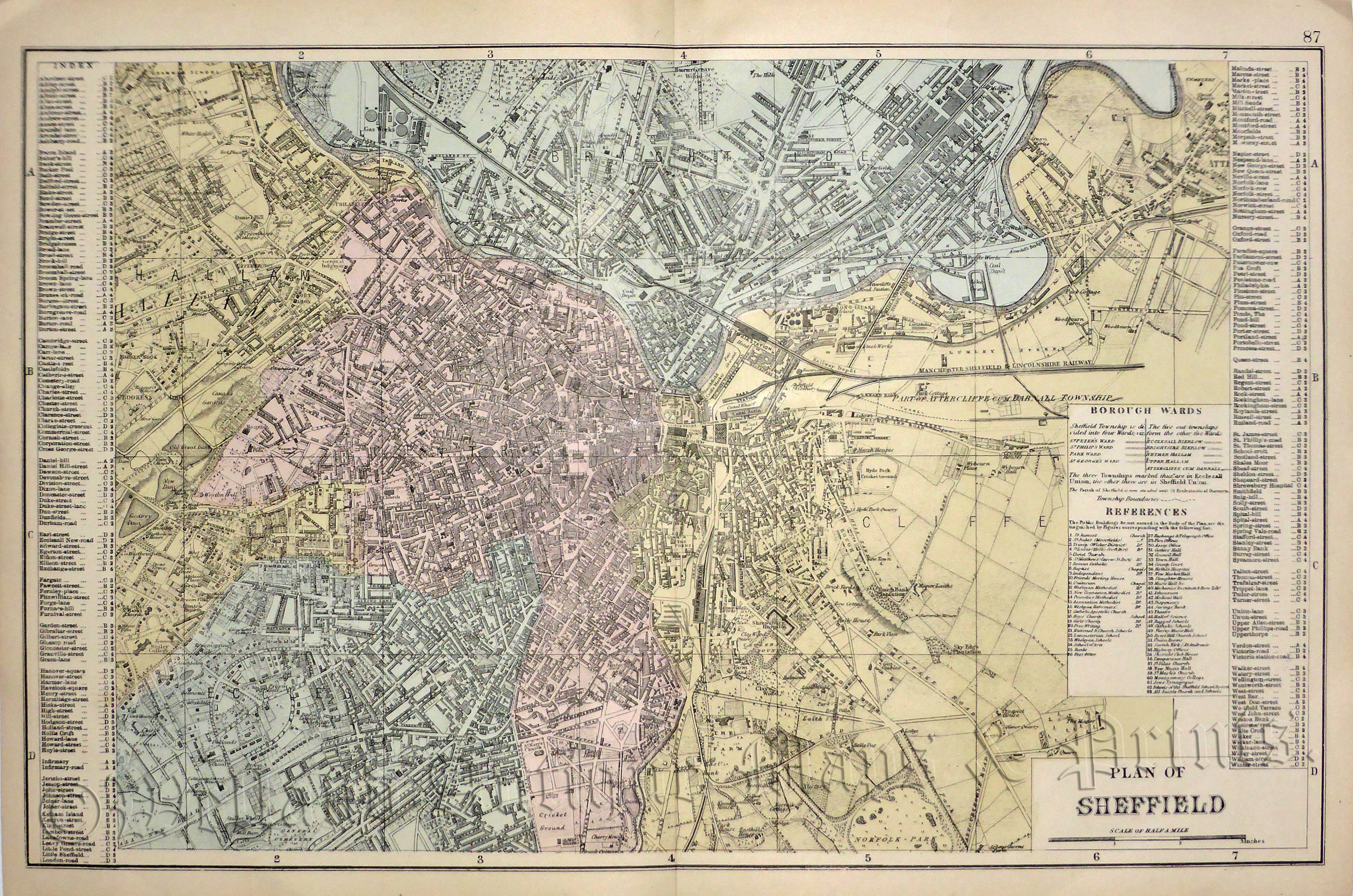
An interesting and detailed late 19th century city plan of Sheffield, South Yorkshire which was published in George W. Bacon’s New Large Scale Ordnance Atlas of the British Isles (London: G. W. Bacon & Co., 1884).
- This is an original late 19th century chromolithograph.
- Printed area is approximately 49.1cms by 30.9cms.
- The map is in very good condition, centrefold, as issued. Click on image for a better view.
- Click on ‘Delivery Policy’ for postage costs.
- Guaranteed to be over 130 years old.
!['LEEDS.' by John Tallis / J. Rapkin / H. Winkles [Double Page] c.1855](https://www.wellandantiquemaps.co.uk/wp-content/uploads/2023/01/P1090007-copy-300x213.jpg)