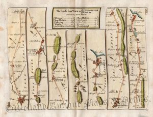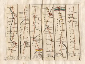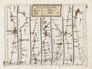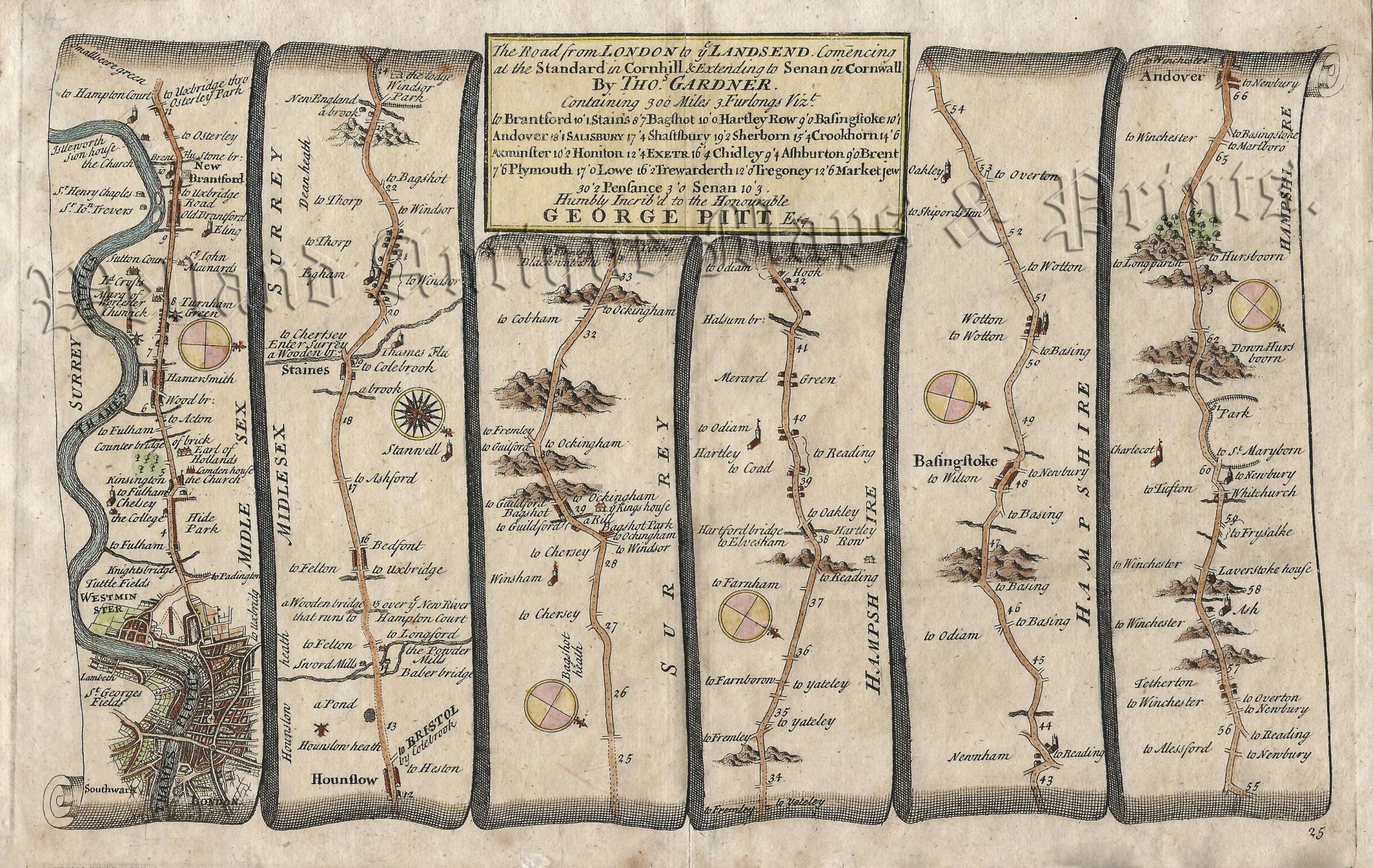
An interesting and rare early 18th century road strip map showing the route from London to Andover — via Brentford, Hounslow, Staines and Andover — which was published in Thomas Gardner’s A Pocket-Guide To The English Traveller (London: J. Tonson & J. Watts, 1719).
Based on John Ogilby’s Britannia c.1675, Gardner’s road strip maps were of a reduced size making them more practical for the traveller. His atlas was, however, published only once making the maps rare to find.
- This is an original copperplate engraving with later hand colour.
- Printed area is approximately 26.9cms by 16.4cms.
- The map is in very good condition with adequate margins. Click on image for better view.
- The item comes displayed in a ready to frame museum quality mount.
- Click on ‘Delivery Policy’ for Postage costs.
- Guaranteed to be over 300 years old.