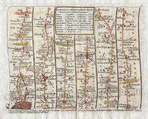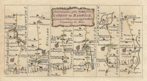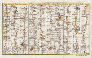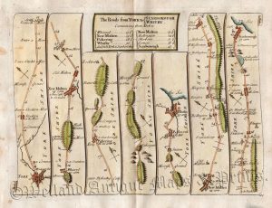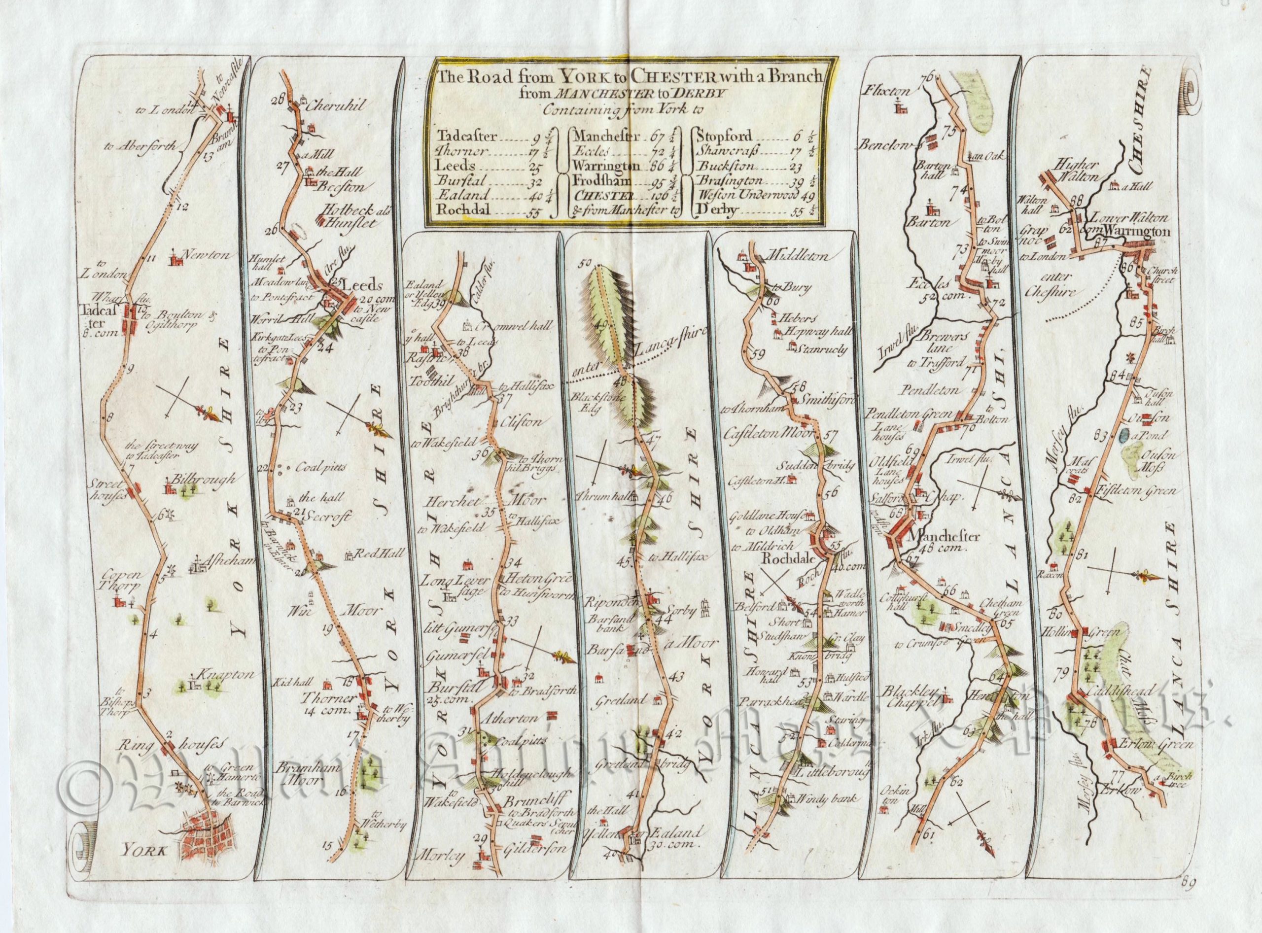
An interesting 18th century road strip map showing the route from York to Warrington — via Tadcaster, Leeds, Rochdale and Manchester — which was published in John Senex’s ‘An Actual Survey Of all the Principal Roads of England and Wales (London: J. Senex, 1719-c.1780).
John Senex (fl. 1702 – died 1740) was a noted early 18th century map maker, engraver and publisher. Amongst his considerable output, he produced fine maps of the world, the continents as well as loose maps of various countries. He is most well known for his road strip atlas, ‘An Actual Survey Of all the Principal Roads of England and Wales’. First published in 1719, these strip maps were based on those done by John Ogilby in 1675. Whilst Senex’s maps may have been smaller and less ornamental, they were far more practical than the folio sized ones by Ogilby. The atlas proved popular with travellers and was published in several editions (including a French text edition in 1767) up until c.1780. In recognition to his contribution to the London map trade, Senex was made a fellow of the Royal Society in 1728.
- This is an original copperplate engraving with later hand colour.
- Printed area is approximately 21.9cms by 15.7cms.
- The map is in very good condition with decent margins. Click on image for better view.
- The item comes displayed in a ready to frame museum quality mount.
- Click on ‘Delivery Policy’ for Postage costs.
- Guaranteed to be over 200 years old.