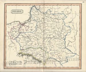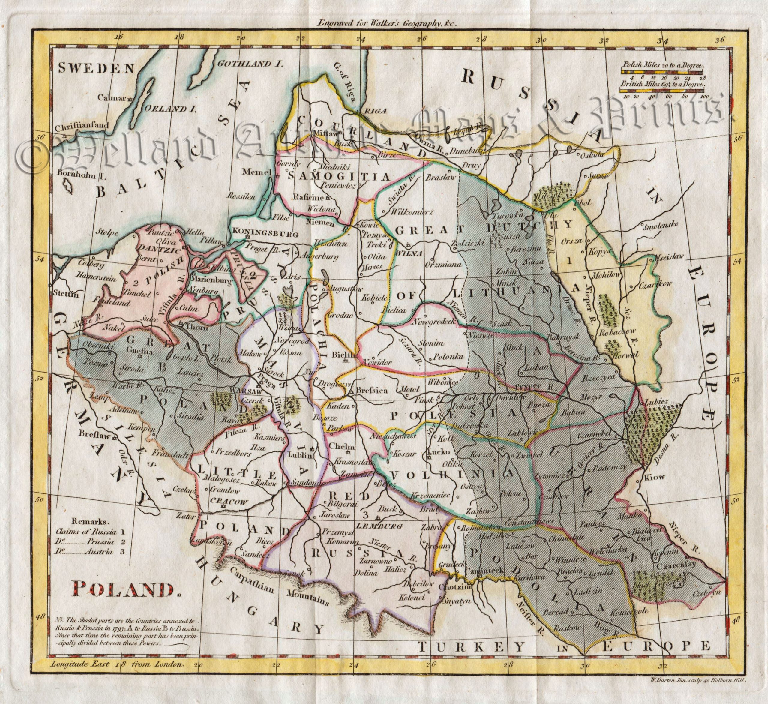
An interesting early 18th century map showing a partitioned Poland which was engraved by William Darton and published in Atlas to Walker’s Geography (London: Vernor & Hood,1802).
- This is an original copperplate engraving with later hand colour.
- Printed area is approximately 21.3cms by 19.5cms (including imprint).
- The map is in very good condition with decent margins.Click on image for a better view.
- The item comes displayed in a ready to frame museum quality mount.
- Click on ‘Delivery Policy’ for postage costs.
- Guaranteed to be over 200 years old.