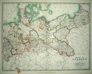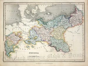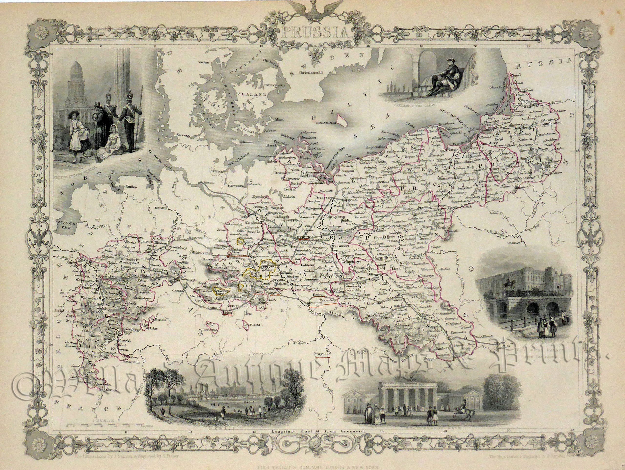
A decorative and detailed mid 19th century map of Prussia (modern day Germany and Poland) which was engraved by J. Rapkin (vignettes by J. Salmon & S. Fisher) and published in John Tallis & co.’s The Illustrated Atlas (London & New York: c.1851).
The Illustrated Atlas, published from 1849 onwards, was the last decorative world atlas. The ‘Prussia’ map was typical of the many fine ones which appeared in this work with its decorative border and attractive vignettes. Illustrated are views of Berlin, the Brandenburg Gate, the Royal Palace, the French Church in Berlin and Frederick the Great.
- This is an original steel engraving with original hand colour.
- Printed area is approximately 32.9cms by 26.2cms.
- The map is in very good condition. The top margin is cropped above the eagle’s head, as issued. There are some minor spots in the top right border which are outside the printed area. Click on image for a better view.
- Click on ‘Delivery Policy’ for postage costs.
- Guaranteed to be over 160 years old.