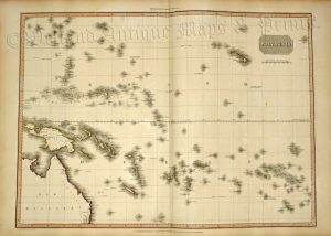
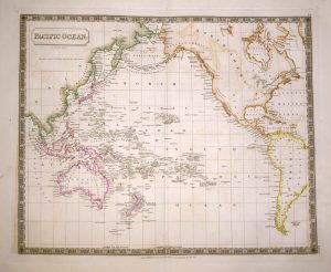
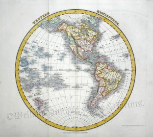
A decorative and detailed mid 19th century map of the World, specifically showing the voyages of Captain Cook, which was drawn and engraved by John Rapkin and published in John Tallis & Co.’s The British Colonies (London & New York: c.1849). The maps from this work were then issued in the Illustrated Atlas*.
*The Illustrated Atlas, published from 1849 onwards, was the last decorative world atlas. ‘THE WORLD … SHEWING THE VOYAGES OF CAPTAIN COOK ROUND THE WORLD’ was typical of the many fine maps which appeared in this work with its ornamental border and attractive vignettes. The vignette beneath ‘NEW HOLLAND’ (Australia) and New Zealand depicts HMS Endeavor, the ship used by Captain Cook during his voyages.
- This is an original steel engraving with original hand colour.
- Printed area is approximately 32.5cms by 24.3cms (including imprint).
- The map is in very good condition with adequate margins; centrefold, as issued. There is some minor browing to the fold and a few minor stains. Click on image for a better view.
- Click on ‘Delivery Policy’ for postage costs.
- Guaranteed to be over 175 years old.