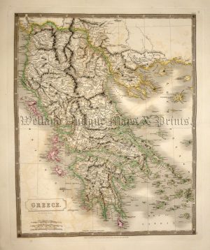
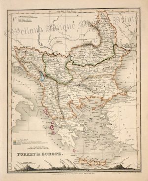
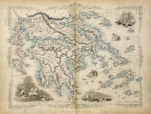
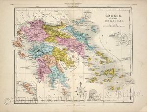
A detailed and attractive mid 19th century map of The Balkans (modern day Moldova, Bulgaria, Romania, Serbia, Croatia, Bosnia & Herzogovina, North Macedonia, Kosova and Greece) which was drawn and engraved by John Dower and published in A New General Atlas of Modern Geography (London: Orr & co., c.1842).
- This is an original steel engraving with original hand colour.
- Printed area is approximately 20.7cms by 26.3cms.
- The map is in very good condition with decent margins. Click on image for a better view.
- Click on ‘Delivery Policy’ for postage costs.
- Guaranteed to be over 175 years old.