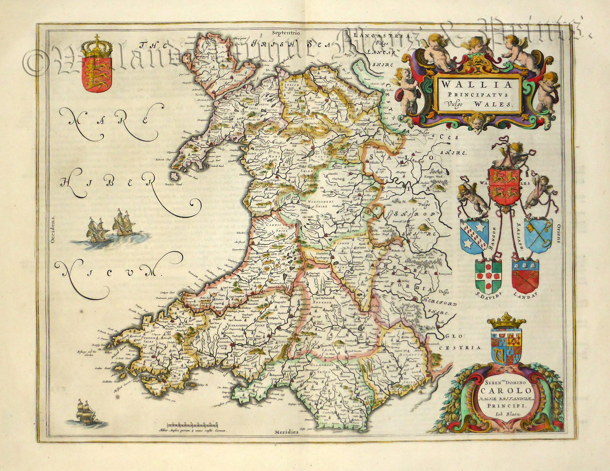
A very attractive and finely engraved 17th century map of Wales which was published in Joan Blaeu’s Toonneel des Aerdrycks, oft Nieuwe Atlas or Vierde Stuck Der Aerdrycks-Beschryving* (Amsterdam: Dutch Text Edition,1648).
Joan Blaeu (1596-1673). The Blaeu workshop, based in Amsterdam, produced the most magnificent atlases and maps of the period, the time in which the Netherlands was experiencing its ‘Golden Age’ in art, science and commerce. A true perfectionist, Blaeu used only the best engravers, printers and colourists and only the finest materials, including paper, to produce his atlases.
In 1645 he published a county atlas of England & Wales as part of his ‘Theatrum Orbis Terrarum’ series. Each map epitomised the craftsmanship and artistry of the Blaeu workshop being finely detailed with ornate cartouches, cherubs, heraldic shields and calligraphy. Later in 1662, the maps reappeared in volume five of his ‘Atlas Maior’ which is perhaps the finest cartographic work ever produced in the history of map making.
- This is an original copperplate engraving with later hand colour.
- Printed area is approximately 49.5cms by 38.6cms.
- The map is in very good condition with excellent margins. There are a couple of minor spots in the sea area. Click on image for a better view.
- Click on ‘Delivery Policy’ for postage costs.
- Guaranteed to be over 350 years old.
*Latin Title: Theatrum Orbis Terrarum Sive Atlas Novus