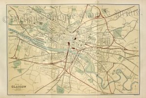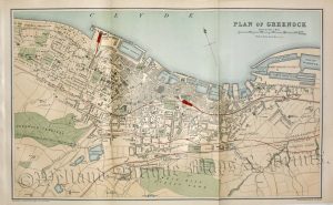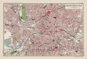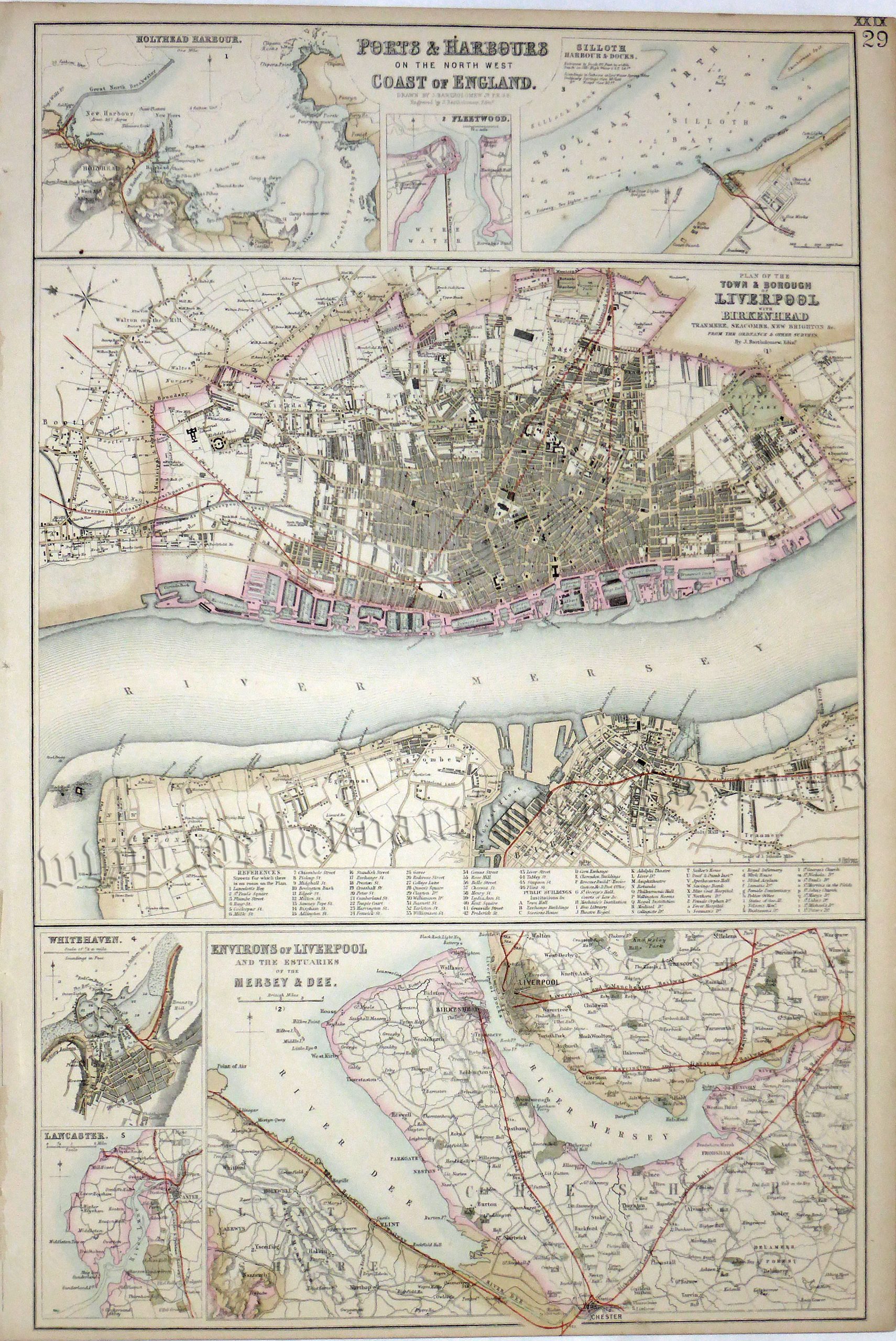
An interesting and detailed set of Victorian maps/plans of Liverpool, City and Environs; Holyhead Harbour; Silloth, Harbour & Docks; Whitehaven and Lancaster which was drawn and engraved by John Bartholomew and published in The Royal Illustrated Atlas of Modern Geography (London & Edinburgh: A. Fullarton & co.,1862-1872).
- This is a 19th century lithographic transfer with original outline colour.
- Printed area is approximately 29.5cms by 46.7cms (including title).
- The map is in very good condition with adequate margins. Click on image for a better view.
- Click on ‘Delivery Policy’ for postage costs.
- Guaranteed to be over 150 years old.