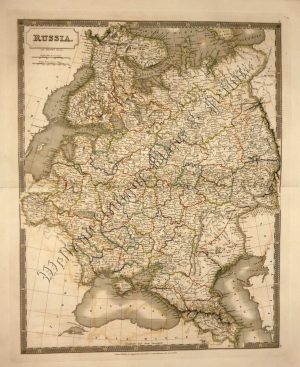
A decorative, detailed and historically interesting mid 19th century map of the Black Sea which was drawn and engraved by J. Rapkin (vignettes by H. Winkles) and published first in John Tallis’s Illustrated Atlas* (London:c.1853) and then Henry Tyrell’s The History of the War with Russia (London: London Publishing Co, 1858). This map was published at the time of the Crimean War with the Baltic being one of the main areas of conflict.
*The Illustrated Atlas, published from 1849 to 1853, was the last decorative world atlas. The ‘Baltic Sea’ map was typical of the many fine ones which appeared in this work with its decorative border and attractive vignettes. Illustrated are views of Kronstadt, St. Petersburg, ‘Revel’ (Tallinn), ‘Abo’ (Turku) and ‘Helsingfors’ (Helsinki).
- This is an original steel engraving with original hand colour.
- Printed area is approximately 25.3cms by 33.4cms.
- The map is in very good condition with decent margins; centrefold, as issued. Click on image for a better view.
- Click on ‘Delivery Policy’ for postage costs.
- Guaranteed to be over 150 years old.