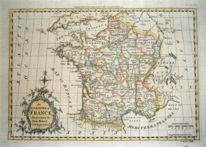
An attractive 18th century miniature map of France which was drawn and engraved by John Gibson (with improvements by Emanuel Bowen) for the pocket atlas, Atlas Minimus Illustratus: Containing Fifty-Two Pocket Maps Of The World (London: J. Newbery, 1758). The text beneath the map describes France as being 138,837 square miles with a ‘supposed’ population of 14 million inhabitants.
- This is an original copperplate engraving with original hand colour.
- Printed area is approximately 6.4cms by 9.8cms.
- The map is in very good condition with decent margins. Click on image for a better view.
- The item comes displayed in a ready to frame museum quality mount.
- Click on ‘Delivery Policy’ for postage costs.
- Guaranteed to be over 250 years old.