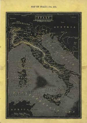
An interesting and detailed 19th century miniature map of Italy (before its unification) which was engraved by Thomas Starling and published in either The Royal Cabinet Atlas or Geographical Annual (London: Bull & Churton, 1830 / 1832). This particular example comes with its accompanying table.
- This is an original steel engraving with original hand colour.
- Printed area, including table, is approximately 19.4cms by 15.3cms (including imprint).
- The engraving is in very good condition with decent margins. Click on image for a better view.
- The item comes displayed in a ready to frame acid free mount.
- Click on ‘Delivery Policy’ for postage costs.
- Guaranteed to be over 185 years old.