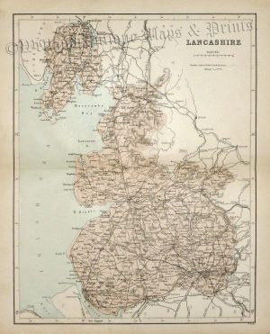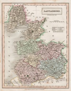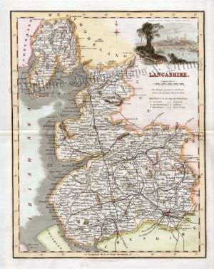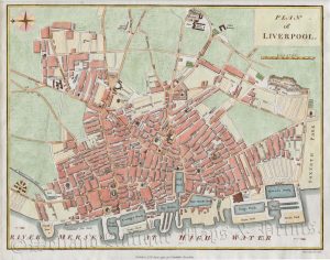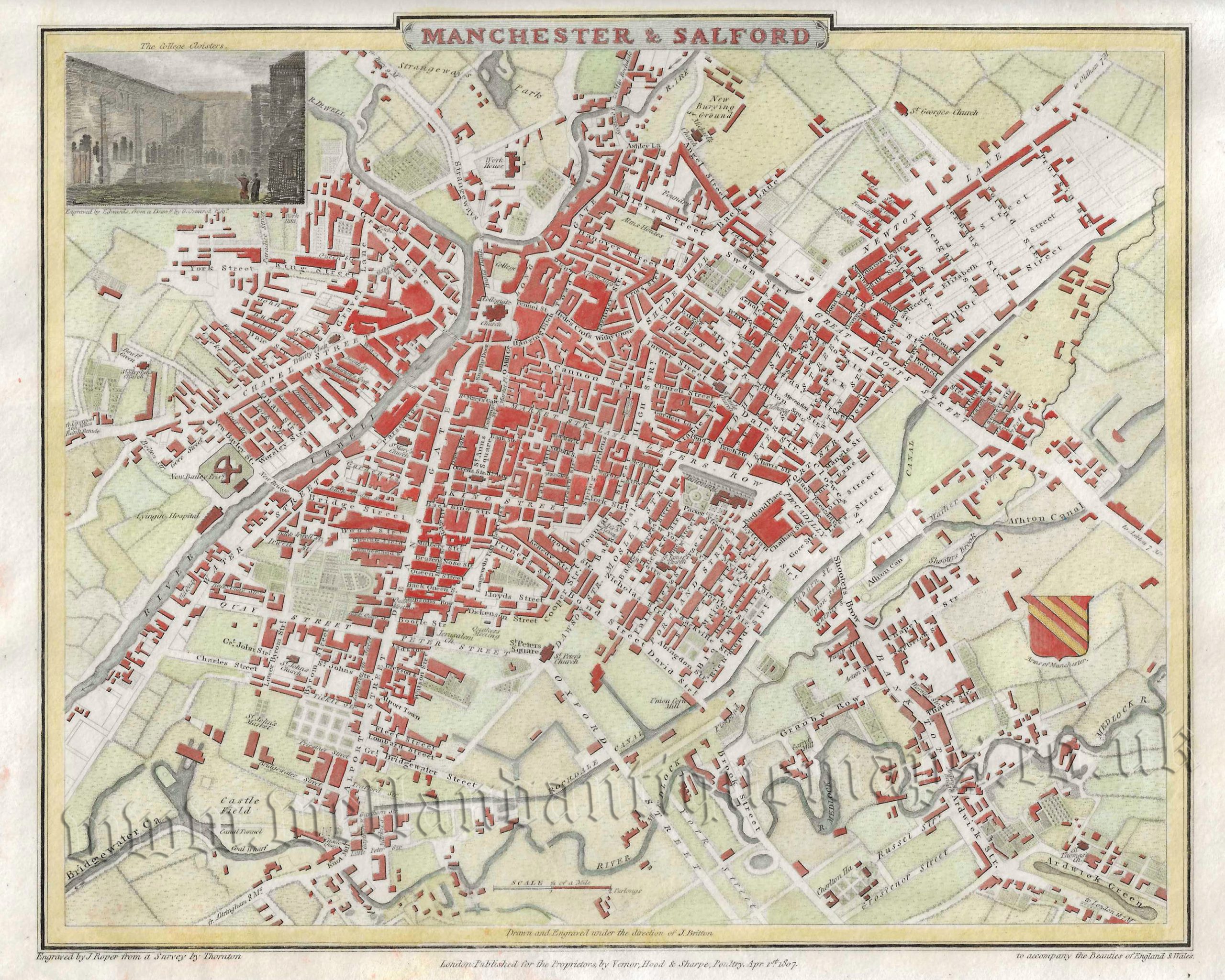
An attractive and detailed early 19th century city plan of Manchester & Salford — with an inset view of the College Cloisters — which was drawn and engraved by Thornton and John Roper, respectively, and published in The British Atlas* (London: 1807-1810 Vernor, Hood & Sharpe).
- This is an original copperplate engraving with fine later hand colour.
- Printed area is approximately 24.9cms by 20.8cms (including imprint).
- The map is in very good condition with decent margins. Click on image for a better view.
- The item comes displayed in a ready to frame museum quality mount.
- Click on ‘Delivery Policy’ for postage costs.
- Guaranteed to be over 200 years old.
*The British Atlas, comprising of county maps and town plans, was published as a compendium to Britton and Brayley’s renowned Beauties of England & Wales.