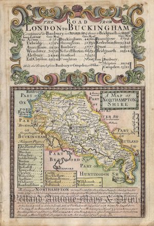
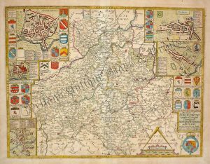
A charming 17th century county map of Northamptonshire which appeared in a pocket atlas entitled England, Wales, Scotland and Ireland Described and Abridged… from a Farr Larger Voulume Done by John Speed (London: Bassett & Chiswell, 1676). The atlas / maps were based on the larger ones done by John Speed in c.1611-12, hence ‘Miniature Speed’*.
- This is an original copperplate engraving with later hand colour.
- Printed area is approximately 12.2cms by 8.5cms.
- The map is in very good condition. The top margin is close but still mountable without loss. There is a small split touching the top border of the map and some minor see through from the text on the reverse, otherwise a very nice example. Click on image for better view.
- The item comes displayed in a ready to frame museum quality mount.
- Click on ‘Delivery Policy’ for postage costs.
- Guaranteed to be over 300 years old.
*Unlike many of the maps in the atlas, this one wasn’t engraved by Pieter Van Den Keere but by an unknown — probably English — engraver.