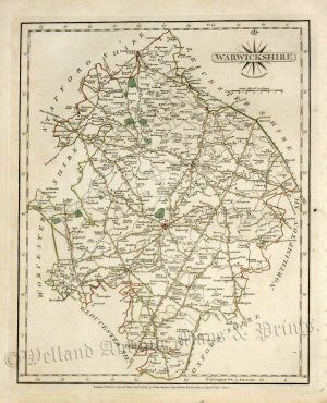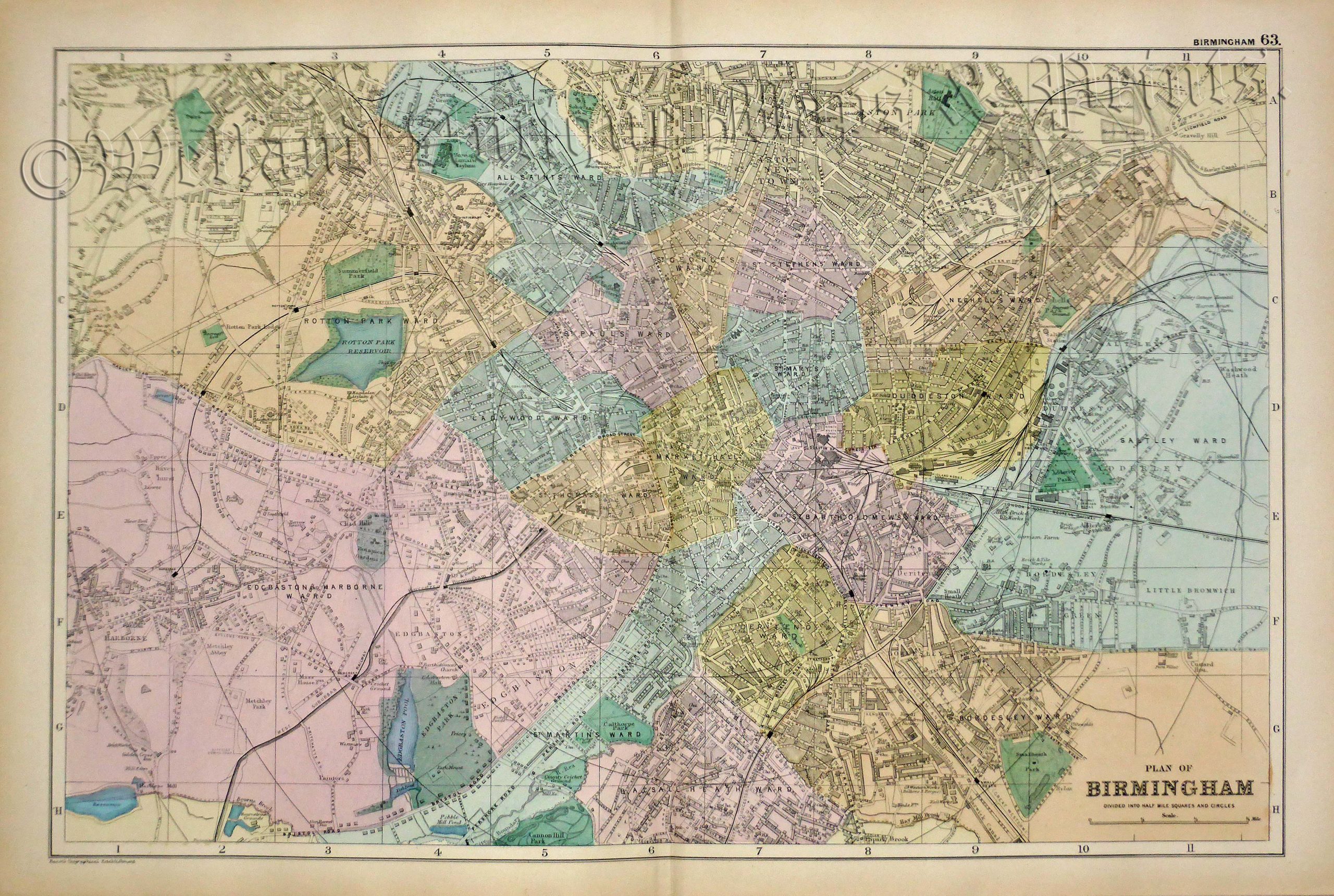
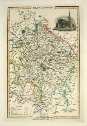
A detailed and attractive late 19th century city plan of Birmingham, West Midlands (formerly Warwickshire) which was published in George W. Bacon’s Commercial And Library Atlas of the British Isles From The Ordnance Survey (London: G. W. Bacon & Co., 1895).
- This is an original early 20th century chromolithograph.
- Printed area is approximately 47.2cms by 32.1cms.
- The maps are in very good condition with decent margins; centrefold; as issued. Click on image for a better view.
- Click on ‘Delivery Policy’ for postage costs.
- Guaranteed to be over 100 years old.
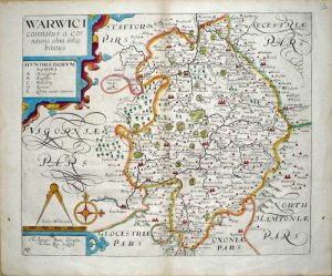
!['WIGORNIENSIS Comitatus et... WARWICENSIS' [Worcestershire & Warwickshire] by J. Blaeu c.1645](https://www.wellandantiquemaps.co.uk/wp-content/uploads/2023/01/Warks-Worc-Blaeu-copy-300x253.jpg)