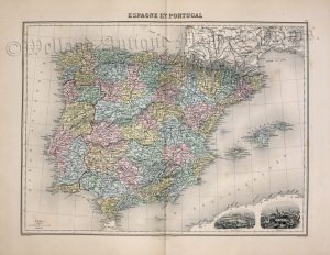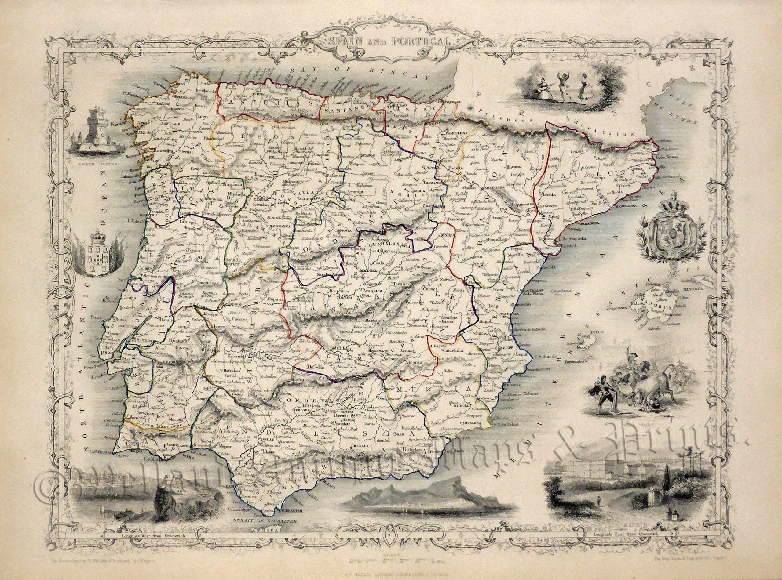
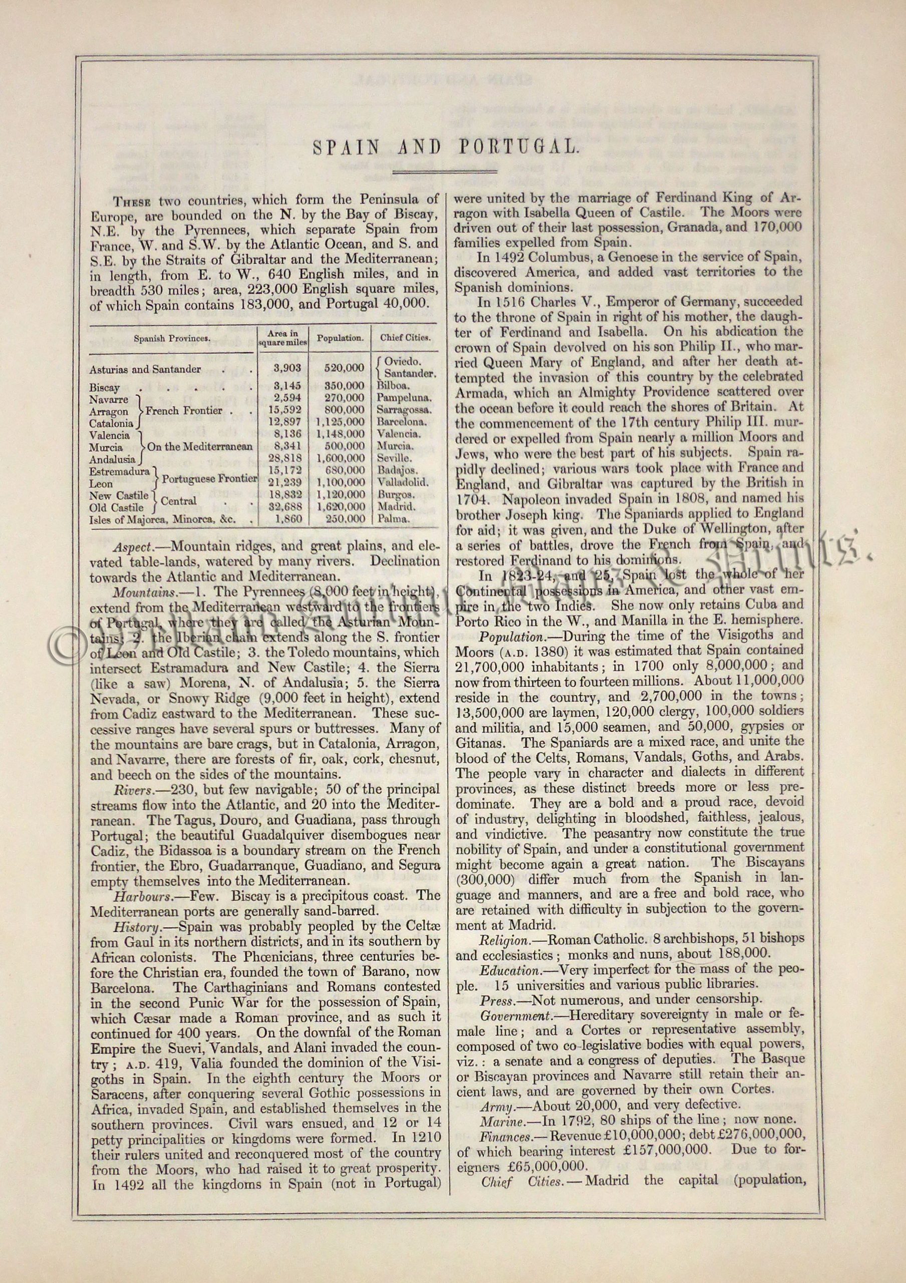
A highly decorative mid 19th century map of Spain and Portugal which was drawn and engraved by John Rapkin (vignettes by N. Whittock and J. Rogers) and published in John Tallis & co.’s The Illustrated Atlas (london & New York: c.1851). The original page of text which accompanies the map is included.
The Illustrated Atlas, published from 1849 to 1853, was the last decorative world atlas. The Spain and Portugal map was typical of the many fine ones that appeared in this work with its decorative border and attractive vignettes. Illustrated are views of Madrid, Lisbon, Gibralter and Belem Castle along with scenes of bull fighting and Spanish dancers in traditional costume.
- This is an original steel engraving with original hand colour.
- Printed area is approximately 31.5 by 25.5cms (including imprint).
- The map is in very good condition with decent margins. Click on image for a better view.
- Click on ‘Delivery Policy’ for postage costs.
- Guaranteed to be over 155 years old.