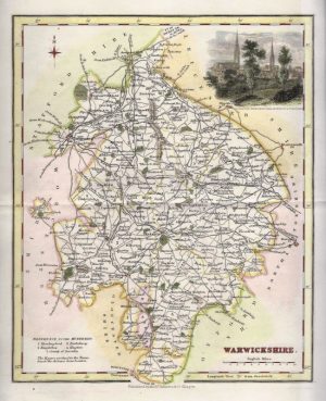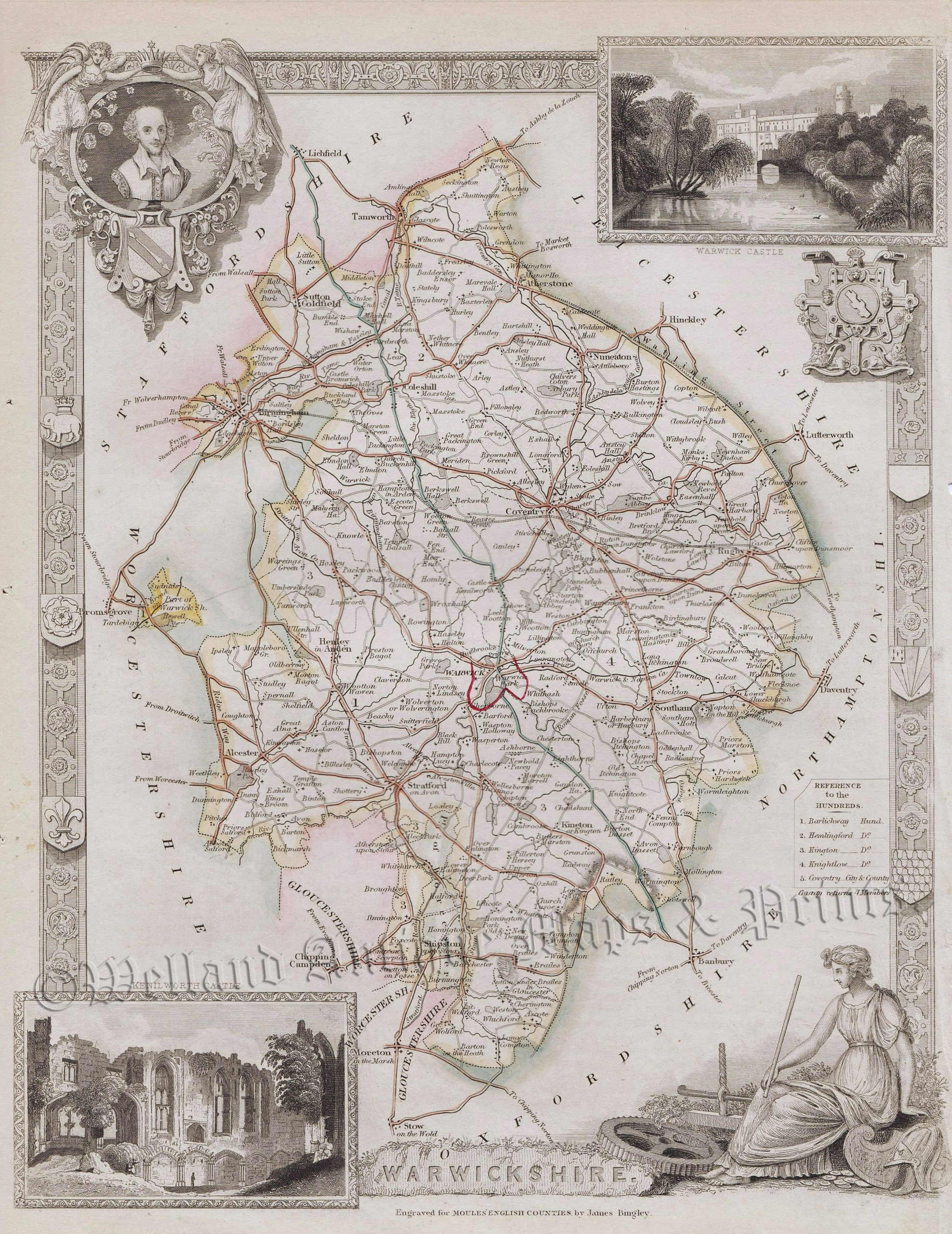
A highly decorative 19th century Thomas Moule map of Warwickshire — with inset views of both Warwick and Kenilworth Castle — which was engraved by James Bingley and published in English Counties Delineated (London: G. Virtue, 1837).
The Moule county maps were unusual for the period in that they were highly decorative. The scientific rationality of the late 18th & early 19th century had seen a move away from the flamboyance of earlier map making emphasizing instead a greater desire for accuracy and detail. Thomas Moule, like many of his contemporaries, however, was drawn to a more simplistic, pre-industrial age. This was clearly reflected in his maps with their neo-Gothic borders, heraldic shields and views of ancient buildings; ironically, the Moule maps issued later in the 1840s were amongst the first to show the newly constructed railways.
- This is an original steel engraving with original hand colour.
- Printed area is approximately 20.9cms by 26.4cms.
- The map is in very good condition. The right margin is close, as issued Click on image for a better view.
- The item comes displayed in a ready to frame museum quality mount.
- Click on ‘Delivery Policy’ for postage costs.
- Guaranteed to be over 180 years old.