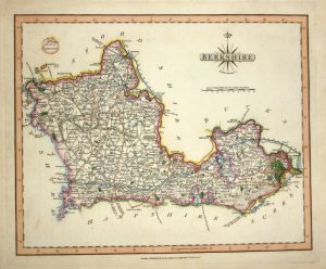
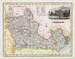
A decorative and detailed 19th century Moule map of Berkshire, with vignette views of Virginia Water, Windsor, Windsor Castle and Abingdon Town Hall which was published in Moules English Counties Delineated (London: George Virtue, 1837). This particular example is with rare original hand colour.
The Moule county maps were unusual for the period in that they were highly decorative. The scientific rationality of the late 18th & early 19th century had seen a move away from the flamboyance of earlier map making, emphasizing instead a greater desire for accuracy and detail. Thomas Moule, like many of his contemporaries, however, was drawn to a more simplistic, pre-industrial age. This was clearly reflected in his maps with their neo-Gothic borders, heraldic shields and views of ancient buildings; ironically, the Moule maps issued later in the 1840s were amongst the first to show the newly constructed railways.
- This is an original steel engraving with later hand colour.
- Printed area is approximately 25.5cms by 19.7cms.
- The map is in very good condition. The bottom margin is close, as issued. There is a small wormhole touching the border of the ‘WINDSOR CASTLE’ view. Click on image for a better view.
- The item comes displayed in a ready to frame museum quality mount.
- Click on ‘Delivery Policy’ for postage costs.
- Guaranteed to be over 160 years old.