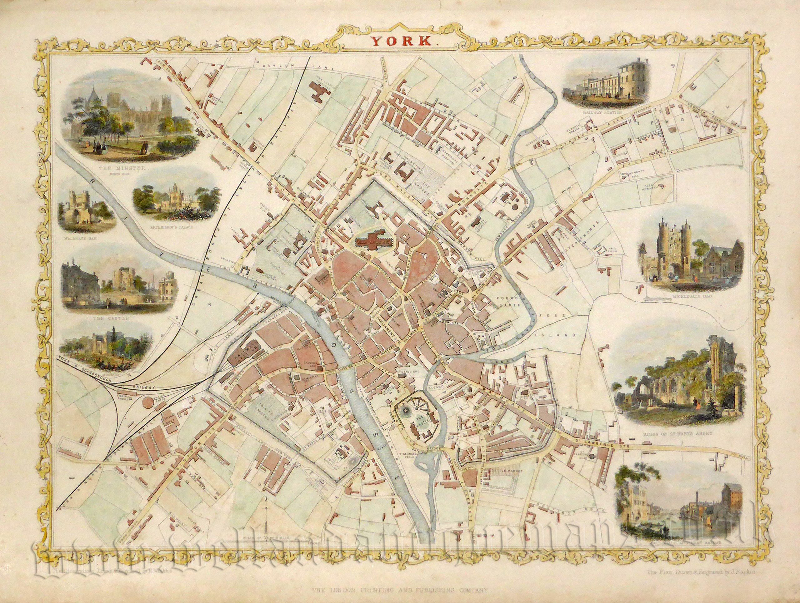
A decorative and detailed mid 19th century plan of the City of York, Yorkshire which was drawn and engraved by J. Rapkin (vignettes by H. Winkles) and published in John Tallis’s Illustrated Atlas (London & New York: John Tallis & co, c.1855). This plan only appeared in later editions of the atlas and is consequently rarer to find.
The Illustrated Atlas, published from 1849 onwards, was the last decorative world atlas. The Preston plan was typical of the many fine ones which appeared in this work with its decorative border and attractive vignettes. Illustrated are views of The Minster, Walmgate Bar, The Archbishop’s Palace, The Castle, York Museum, York Station, Micklegate Bar, The Ruins of St. Mary’s Abbey and The Guildhall and Ouse Bridge.
- This is an original steel engraving with later hand colour.
- Printed area is approximately 32.2cms by 24.8cms (including imprint).
- The map is in very good condition with decent margins. Click on image for a better view.
- Click on ‘Delivery Policy‘ for postage costs.
- Guaranteed to be over 160 years old.