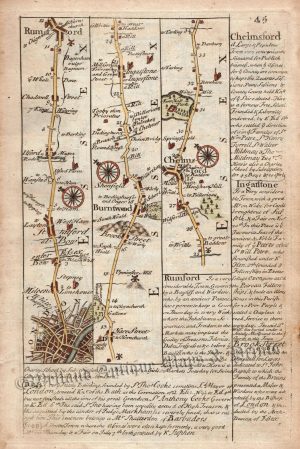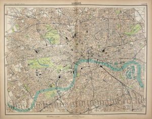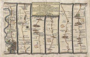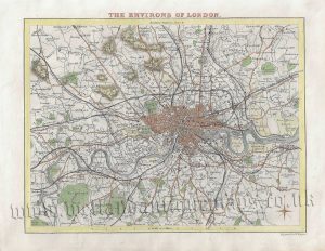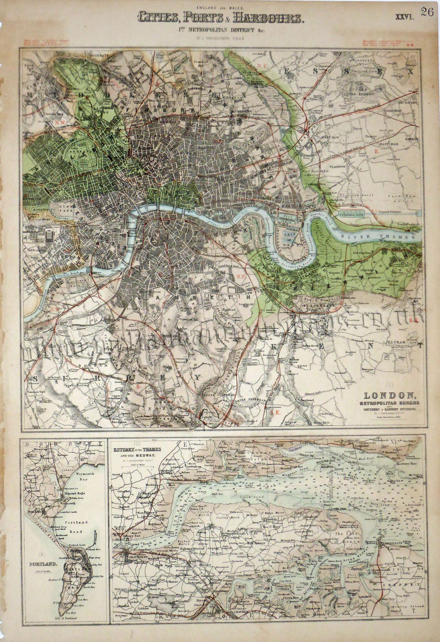
An interesting and detailed set of Victorian maps/plans of London and the metropolitan area; the Thames Estuary; and Portland harbour which was produced by John Bartholomew and published in The Royal Illustrated Atlas of Modern Geography (London & Edinburgh: A. Fullarton & co.,1862-1872).
- This is a 19th century lithographic transfer with original outline colour.
- Printed area is approximately 29.4cms by 45cms (including title but not imprint).
- The map is in very good condition with decent margins. Minor stains and age toning. Click on image for a better view.
- Click on ‘Delivery Policy’ for postage costs.
- Guaranteed to be over 150 years old.