A very attractive and detailed late 19th century map of the Low Countries (Netherlands, Belgium and Luxembourg) with decorative vignette views of The Hague and Brussels, which was published in Geographie Universelle, Atlas Migeon (Paris: J. Migeon, 1890)
- This is an original lithographic transfer (taken from an engraving)
- Printed area is approximately 31.4cms by 43.9cms (including imprint).
- The map is in very good condition with excellent margins. Click on image for a better view.
- Click on ‘Delivery Policy’ for postage costs.
- Guaranteed to be over 125 years old.

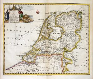
!['THE NETHERLANDS including LIEGE' [Belgium & Luxembourg] by Robert Wilkinson c.1809](https://www.wellandantiquemaps.co.uk/wp-content/uploads/2023/01/Netherlands-Wilkinson-01-copy-300x237.jpg)