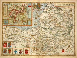
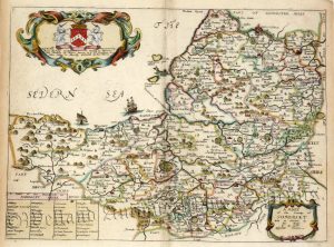
A detailed and decorative early 18th Century map of Somerset* which appeared in John Owen and Emmanuel Bowen’s Britannia Depicta or Ogilby Improv’d (London: T. Bowles, 1720-1764).
Britannia Depicta (1720-1764) was one of the most popular atlases of the 18th century being published in many editions for close to fifty years.The maps themselves were engraved by Emanuel Bowen (1694?-1767) who was one of the most renowned and prolific map makers of the period. As with many of his maps, he has included copious amounts of text — written by John Owen — describing the county.
- This is an original copperplate engraving with later hand colour.
- Printed areas are approximately 11.5cms by 18.3cm.
- The map is in very good condition. The right border has been extended. Click on image for better view.
- The item comes displayed in a ready to frame museum quality mount.
- Click on ‘Delivery Policy’ for Postage costs.
- Guaranteed to be at least 250 years old.
*On the reverse of the map is a road strip map relating to Wales.