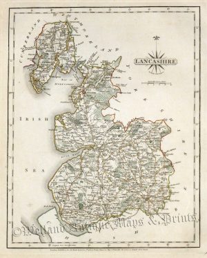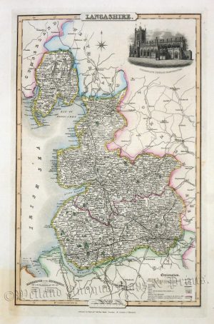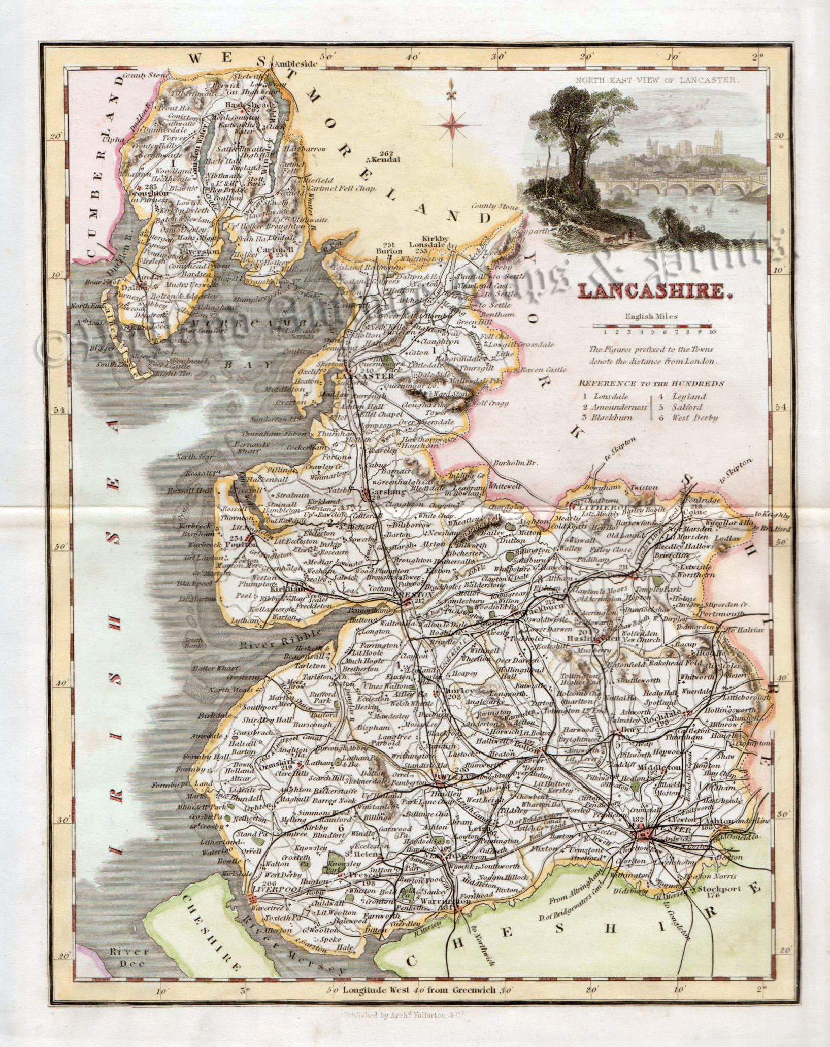
A very attractive and detailed 19th century map of Lancashire — with a fine vignette view of Lancaster — which was drawn and engraved by Gray & Son and published by Fullarton & Co. in The Parliamentary Gazetteer (London, Edinburgh & Glasgow: 1844-1849). A distinct feature of county maps of this period was the inclusion of the newly built (or proposed) railway lines.
- This is an original steel engraving with later hand colour.
- Printed area is approximately 18.9cms by 24.4cms.
- The map is in very good condition with large magins. Click on image for a better view.
- The item comes displayed in a ready to frame museum quality mount.
- Click on ‘Delivery Policy’ for postage costs.
- Guaranteed to be over 160 years old.