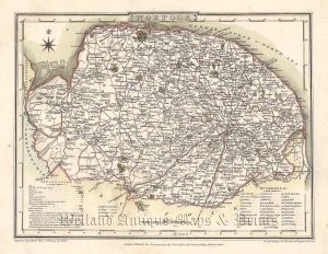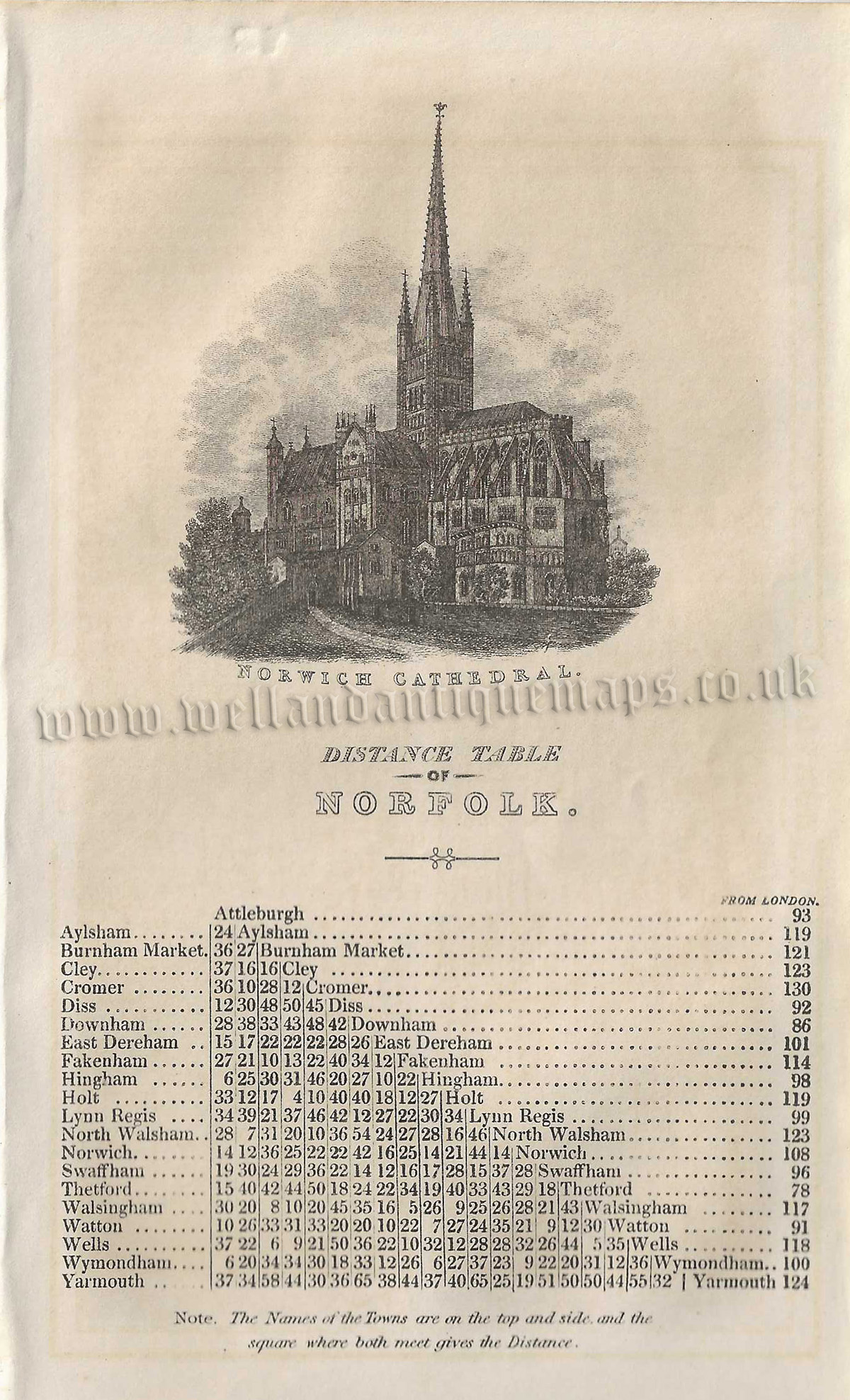

An attractive and detailed mid 19th century miniature map and triangular distance table (with a vignette of Norwich Cathedral) of Norfolk which was published by Pigot & co. in A Pocket Topography and Gazetteer of England (London & Manchester: Pigot & co., 1841). The original pages of text which accompany the map and table are included in the purchase.
- This is an original steel plate engraving with fine original hand colour.
- Printed areas are approximately 16.7cms by 11.1cms for the map and 10.4cms by 17.1cms for the distance table (with vignette).
- The map and distance table are both in very good condition with decent margins. Minor tear in the bottom margin of the map not affecting the printed area. Click on image for better view.
- Click on ‘Delivery Policy’ for postage costs
- Guaranteed to be over 175 years old.


!['A MAPP OF THE COUNTY OF NORFOLCK WITH ITS HUNDREDS' [Norfolk] by Richard Blome c.1673](https://www.wellandantiquemaps.co.uk/wp-content/uploads/2023/01/Norfolk-Blome-copy-300x236.jpg)